
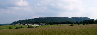
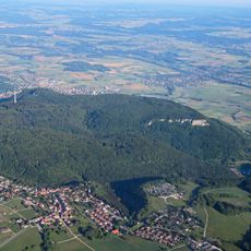
Kaltes Feld bis Rosenstein, protected landscape area in Ostalbkreis district, Baden-Württemberg, Germany
Location: Ostalbkreis
Inception: 1974
GPS coordinates: 48.76230,9.91163
Latest update: April 21, 2025 09:40
Rosenstein
5.2 km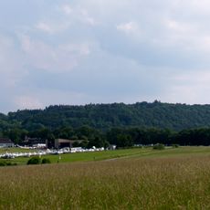
Kaltes Feld
5.5 km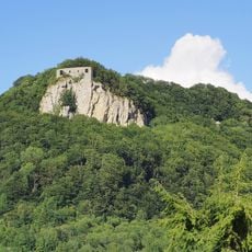
Burg Rosenstein
3.8 km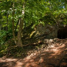
Finsteres Loch
5.2 km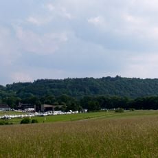
Kaltes Feld mit Hornberg, Galgenberg und Eierberg
5 km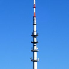
Heubach Telecommunication Tower
4.1 km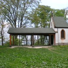
St. Bernhardus
2.3 km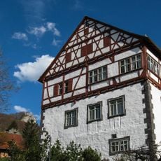
Schloss Heubach
3.5 km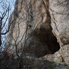
Kleine Scheuer
5.2 km
St. Cyriakus Bettringen
5.5 km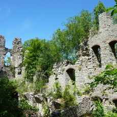
Ruine Lauterburg
5.4 km
Church of the Resurrection
5.4 km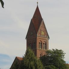
Saint James the Greater Church
3.3 km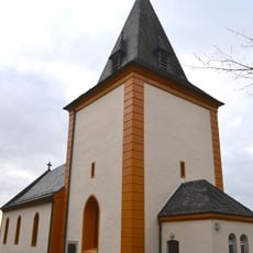
Ottilienkirche (Bettringen)
5.5 km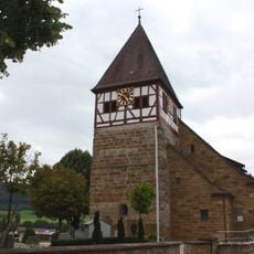
St.-Michaels-Kirche
2.5 km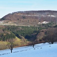
Bargauer Horn
631 m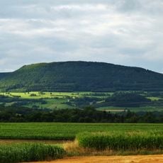
Bernhardus
2.2 km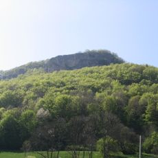
Rosenstein
5.4 km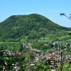
Scheuelberg
2.1 km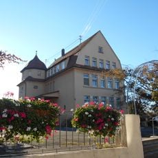
Altes Schulhaus Bargau
3.3 km
St. Sebastian und Walburga
4.7 km
Michael's Church in Boebingen an der Rems
5.5 km
Bergrutschung Tannenwald
5.2 km
Falkenhöhle
2.4 km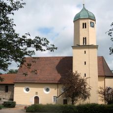
Dorfkirche (Lauterburg)
5.4 km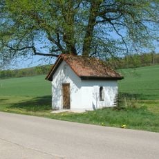
1 Linde bei der Kitzinghofkapelle
2.5 km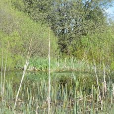
Birkenhülbe
2.7 km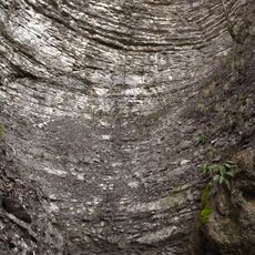
Teufelsklinge
2.3 kmReviews
Visited this place? Tap the stars to rate it and share your experience / photos with the community! Try now! You can cancel it anytime.
Discover hidden gems everywhere you go!
From secret cafés to breathtaking viewpoints, skip the crowded tourist spots and find places that match your style. Our app makes it easy with voice search, smart filtering, route optimization, and insider tips from travelers worldwide. Download now for the complete mobile experience.

A unique approach to discovering new places❞
— Le Figaro
All the places worth exploring❞
— France Info
A tailor-made excursion in just a few clicks❞
— 20 Minutes