
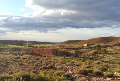
Oultene, commune and town in M'Sila Province, Algeria
Location: Bou Saâda District
Shares border with: Bou Saâda
GPS coordinates: 35.11952,4.37306
Latest update: April 17, 2025 19:50

Beni Hammad Fort
86.2 km
Kalâa of Ait Abbas
132.3 km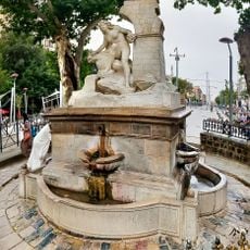
Ain El Fouara Fountain
151.3 km
Lalla-Khedidja
148.4 km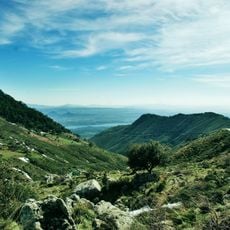
Djurdjura National Park
151.5 km
Gemellae
118 km
Rock art of the Djelfa region
132.9 km
Setifis
150.5 km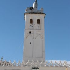
Sidi Okba Mosque
145.3 km
El Mokrani Fort
111.3 km
Rapidum
141.3 km
Gueldaman caves
149 km
Hammam Ouled Tebben
100.8 km
Sétif Museum
151.8 km
Roman bridge in El Kantara
121.5 km
Anou Ifflis
150.2 km
Stade 20 Août 1955
111.3 km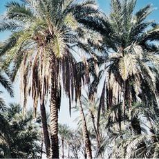
Filiach
130.1 km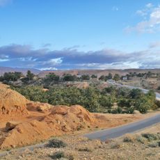
Baniane
153 km
Mosquée de Bouira
145.7 km
Lapidarium of El Kantara
121.4 km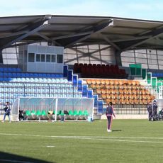
Stade Abderrahmene Bensaci
150.7 km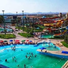
Parc aquatique AquaPalm
131.9 km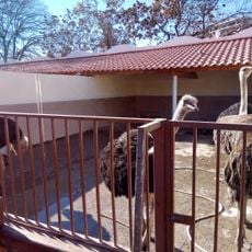
Zoo de Sétif
151.9 km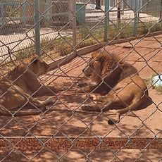
Zoo
113.5 km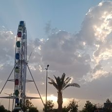
Djelfa Land
112.2 km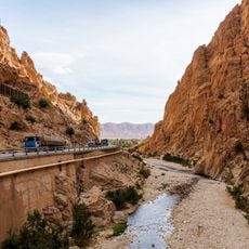
El Kantara Gorge
121.6 km
Parc zoologique Keffous
151.3 kmReviews
Visited this place? Tap the stars to rate it and share your experience / photos with the community! Try now! You can cancel it anytime.
Discover hidden gems everywhere you go!
From secret cafés to breathtaking viewpoints, skip the crowded tourist spots and find places that match your style. Our app makes it easy with voice search, smart filtering, route optimization, and insider tips from travelers worldwide. Download now for the complete mobile experience.

A unique approach to discovering new places❞
— Le Figaro
All the places worth exploring❞
— France Info
A tailor-made excursion in just a few clicks❞
— 20 Minutes