
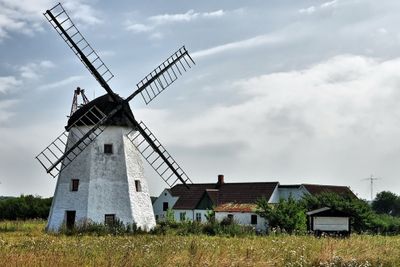
Myreagre Mølle, danish smock mill
Location: Bornholm regional municipality
Inception: 1865
GPS coordinates: 55.06889,14.96556
Latest update: March 5, 2025 06:21
Ekkodalen
6.1 km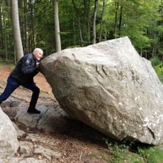
Rokkestenen
8.8 km
Balka
9.5 km
Gamleborg
6.3 km
NaturBornholm
3.1 km
Lilleborg
7.1 km
Gryet
6.6 km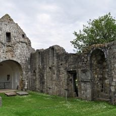
Østermarie church ruin
8.3 km
Egeby Mølle
2.4 km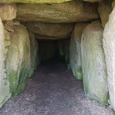
Vasagård Langdysse
5.3 km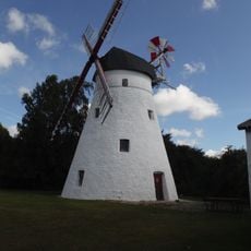
Pedersker Kirkemølle
4.7 km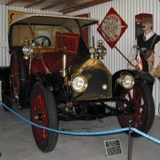
Bornholm Automobilmuseum Aakirkeby
2.4 km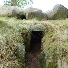
Lundestenen
9.7 km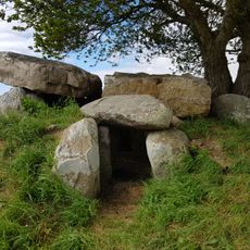
Bønnestenene
6.7 km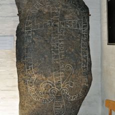
Runensteine von Nylarsker
9.6 km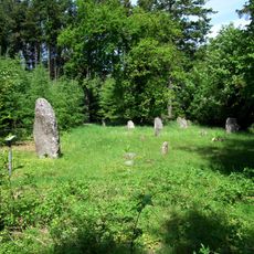
Hjortebakken
3.2 km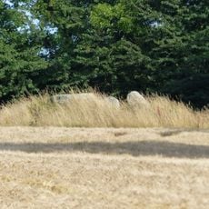
Passagegrave of Jættedal
3.8 km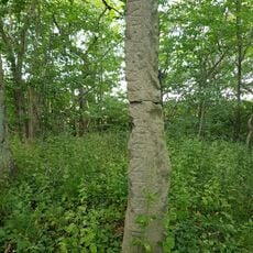
The Brohus stone
8.6 km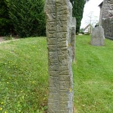
The Støblinge stone
8.3 km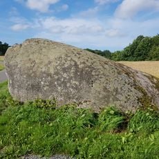
The troll stone
5.5 km
The Gunulf stone
8.4 km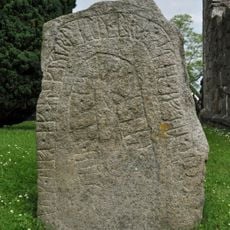
The Tærskel stone
8.4 km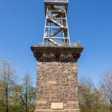
Kongemindet
6.8 km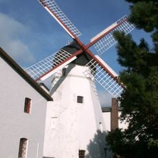
Bornholms Valsemølle
3.2 km
The Østermarie stone 6
8.4 km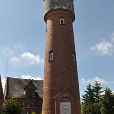
Aakirkeby Vandtårn
2.8 km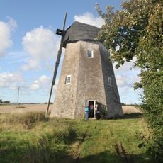
Saxebro Mølle
4.7 km
Ringelhøj
6.5 kmReviews
Visited this place? Tap the stars to rate it and share your experience / photos with the community! Try now! You can cancel it anytime.
Discover hidden gems everywhere you go!
From secret cafés to breathtaking viewpoints, skip the crowded tourist spots and find places that match your style. Our app makes it easy with voice search, smart filtering, route optimization, and insider tips from travelers worldwide. Download now for the complete mobile experience.

A unique approach to discovering new places❞
— Le Figaro
All the places worth exploring❞
— France Info
A tailor-made excursion in just a few clicks❞
— 20 Minutes