
Nabe Cape, cape and hill in Estonia
Location: Lääne-Harju Rural Municipality
GPS coordinates: 59.39705,24.18069
Latest update: March 25, 2025 23:44

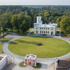
Keila-Joa Manor
6.5 km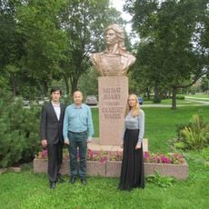
Monument to Salawat Yulayev, Paldiski
8.6 km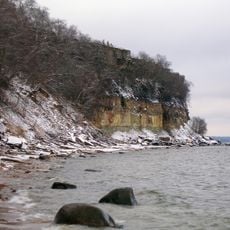
Türisalu Cliff
8.4 km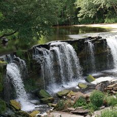
Keila Waterfall
6.5 km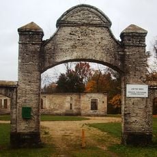
Leetse manor
4.5 km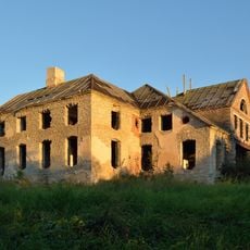
Klooga manor
10.1 km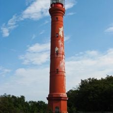
Pakri Lighthouse
8.2 km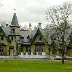
Kõltsu manor
5.9 km
Pakri Cliff
8.3 km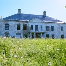
Käesalu manor
7.5 km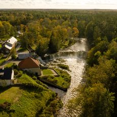
Keila-Joa hydroelectric power station
6.5 km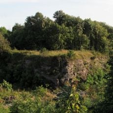
Paldiski Fortress
8.9 km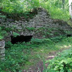
Meremõisa manor
6 km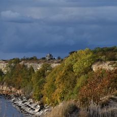
Paldiski Cliff
9.1 km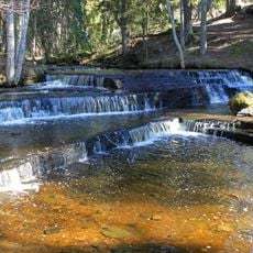
Treppoja joastik
7.1 km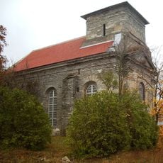
St George Church, Paldiski
8.9 km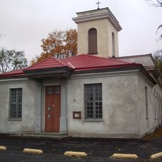
St. Nicholas' Church, Paldiski
8.9 km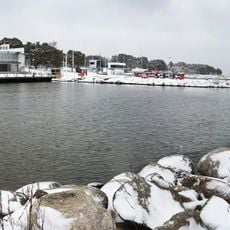
Port de Lohusalu
1.5 km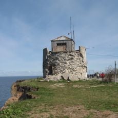
Pakri old lighthouse
8.3 km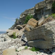
Uuga Cliff
8.7 km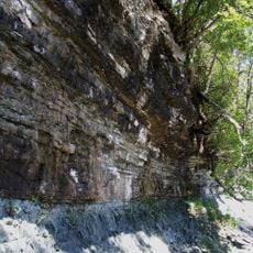
Leetse Cliff
4.3 km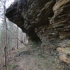
Laulasmaa Nature Park
3.2 km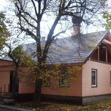
Saint Pantaleon Church in Paldiski
8.7 km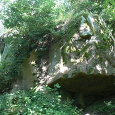
Leetse Lodukivi
4.5 km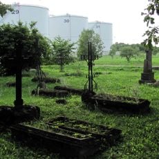
Paldiski town cemetery
8.9 km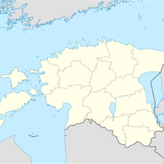
Lohusalu Madal
3 km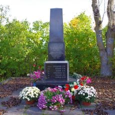
Paldiski II maailmasõja matmispaik
8.8 km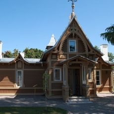
Amandus Adamson's house
8.6 kmReviews
Visited this place? Tap the stars to rate it and share your experience / photos with the community! Try now! You can cancel it anytime.
Discover hidden gems everywhere you go!
From secret cafés to breathtaking viewpoints, skip the crowded tourist spots and find places that match your style. Our app makes it easy with voice search, smart filtering, route optimization, and insider tips from travelers worldwide. Download now for the complete mobile experience.

A unique approach to discovering new places❞
— Le Figaro
All the places worth exploring❞
— France Info
A tailor-made excursion in just a few clicks❞
— 20 Minutes