
Anikaitse Slope, slope in Estonia
Location: Saaremaa Rural Municipality
GPS coordinates: 58.44792,23.32439
Latest update: March 3, 2025 02:07
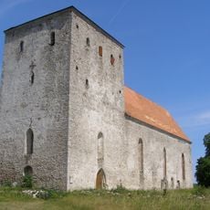
Pöide Church
17.6 km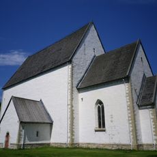
Muhu St. Catherine's Church
18.3 km
Pädaste manor
11.7 km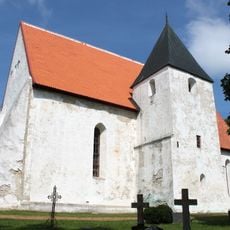
Kirchspiel Rötel
17.1 km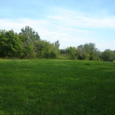
Asva
18.4 km
Muhu hill fort
17.4 km
Puhtu-Laelatu Nature Reserve
17.9 km
Pöide Castle
17.5 km
Pöide hill fort
19.4 km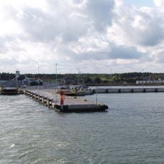
Port of Kuivastu
14.5 km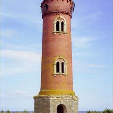
Laidunina Lighthouse
15.7 km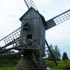
Eemu tuulik
17.5 km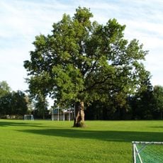
Oak in Orissaare stadium
18.8 km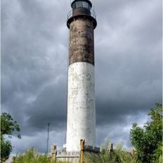
Kübassaare Lighthouse
2.6 km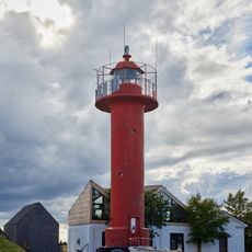
Viirelaid lighthouse
12.8 km
Virtsu Lighthouse
16.8 km
Kuivastu Inn
14.2 km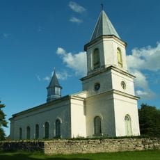
Hellamaa orthodox church
18.3 km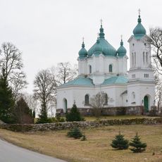
Tornimäe Orthodox Church
13.4 km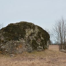
Kõrkvere Aavakivi
7.5 km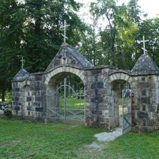
Hellamaa Cemetery
18.6 km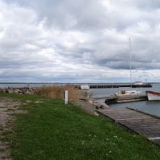
Port d'Orissaare
18.5 km
Kuivastu rear light beacon
14.4 km
Kübassaar Nature Park
1.4 km
Liiva Library
18 km
Pöörilaid lighthouse
17.8 km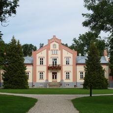
Pädaste manor house
11.7 km
Orissaare kultuurimaja
18.6 kmReviews
Visited this place? Tap the stars to rate it and share your experience / photos with the community! Try now! You can cancel it anytime.
Discover hidden gems everywhere you go!
From secret cafés to breathtaking viewpoints, skip the crowded tourist spots and find places that match your style. Our app makes it easy with voice search, smart filtering, route optimization, and insider tips from travelers worldwide. Download now for the complete mobile experience.

A unique approach to discovering new places❞
— Le Figaro
All the places worth exploring❞
— France Info
A tailor-made excursion in just a few clicks❞
— 20 Minutes