
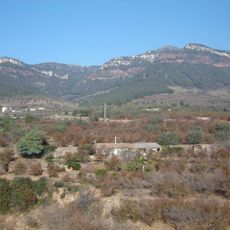
Capafonts, municipality of Spain
Location: Baix Camp
Elevation above the sea: 751 m
Shares border with: Mont-ral, Vilaplana, La Febró, Prades
Website: http://capafonts.cat
GPS coordinates: 41.29543,1.02686
Latest update: March 5, 2025 20:21
La Mussara (Vilaplana)
4.8 km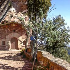
Ermita de l'Abellera
2.3 km
Avencs de la Febró
3.3 km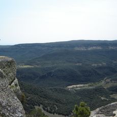
Mola dels Quatre Termes
4.3 km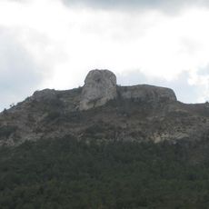
Picorandan
1.2 km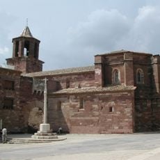
Santa Maria de Prades
3.6 km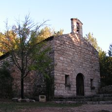
Mare de Déu de Barrulles
1.5 km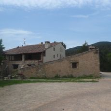
Mas Fortet
1.5 km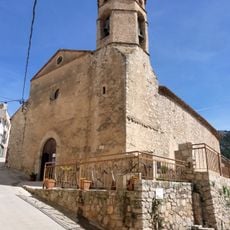
Sant Esteve de la Febró
2.7 km
Mola de la Roquerola
4.2 km
Pena-roja
2 km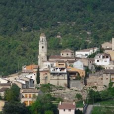
Nucli de Capafonts
0 m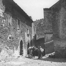
Centre històric de Farena
5.3 km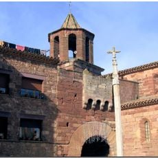
Portal fortificat de Prades
3.6 km
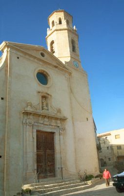
Santa Maria de Capafonts
71 m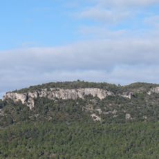
La Mola
3.3 km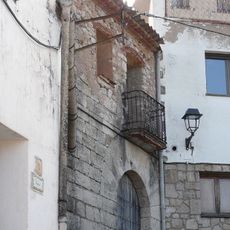
Casa de Macià
55 m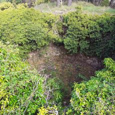
Pou del Mas del Pou del Gel
4.2 km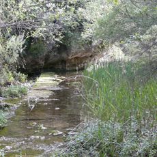
Molí del Balanyà
1.1 km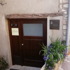
Antic Forn de la Vila
59 m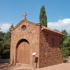
Ermita de Sant Antoni
3.3 km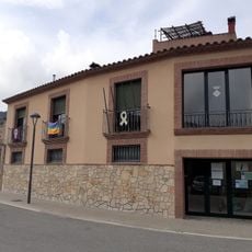
Casa de la vila de la Febró
2.8 km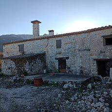
Mas del Verd
4.3 km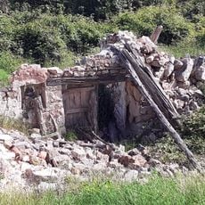
Mas de Joan Pau
4.5 km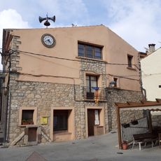
Antiga casa de la vila de la Febró
2.8 km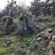
Mas del Pou de Gel
4.2 km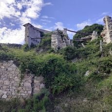
Mas de l'Abelló
4.3 km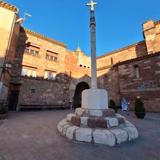
Creu de Sant Roc
3.6 kmReviews
Visited this place? Tap the stars to rate it and share your experience / photos with the community! Try now! You can cancel it anytime.
Discover hidden gems everywhere you go!
From secret cafés to breathtaking viewpoints, skip the crowded tourist spots and find places that match your style. Our app makes it easy with voice search, smart filtering, route optimization, and insider tips from travelers worldwide. Download now for the complete mobile experience.

A unique approach to discovering new places❞
— Le Figaro
All the places worth exploring❞
— France Info
A tailor-made excursion in just a few clicks❞
— 20 Minutes