
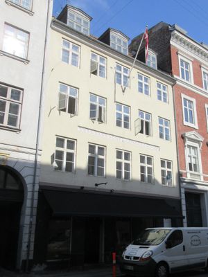
Dronningens Tværgade 10, building in Copenhagen
Location: Copenhagen Municipality
GPS coordinates: 55.68356,12.58777
Latest update: April 7, 2025 07:07
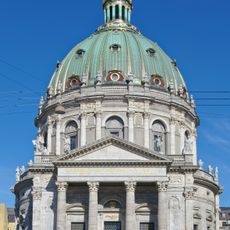
Frederik's Church
192 m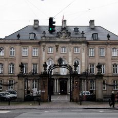
Odd Fellows Mansion
164 m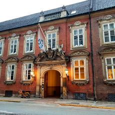
Moltke Mansion
94 m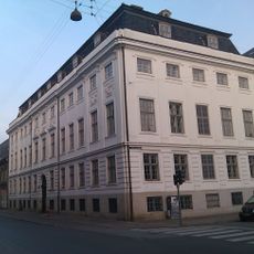
Lindencrone Mansion
133 m
Bernstorff Mansion
196 m
De Coninck House
114 m
Prior House
136 m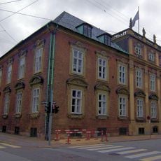
Association of Craftsmen in Copenhagen
69 m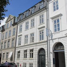
Sankt Annæ Plads 9
218 m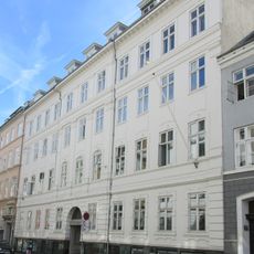
Danneskiold-Laurvig Mansion
72 m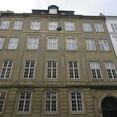
Royal Danish Silk Manufactury
136 m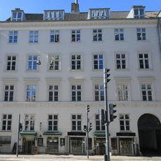
Store Kongensgade 77
199 m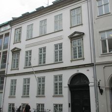
Bredgade 38
153 m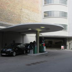
Palægaragerne
59 m
Store Kongensgade 62
39 m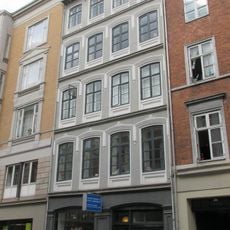
Store Kongensgade 23
161 m
Dronningens Tværgade 7
27 m
Bredgade 24
177 m
Store Kongensgade 59
84 m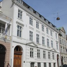
Sankt Annæ Plads 5
189 m
Store Kongensgade 79
212 m
Sankt Annæ Plads 1–3
173 m
Sankt Annæ Plads 7
207 m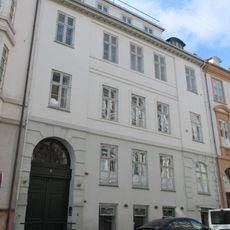
Dronningens Tværgade 5
38 m
Mechanicus Kretz' House
141 m
Store Kongensgade 80
162 m
Store Kongensgade 14
225 m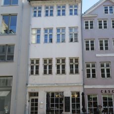
Store Kongensgade 82
165 mReviews
Visited this place? Tap the stars to rate it and share your experience / photos with the community! Try now! You can cancel it anytime.
Discover hidden gems everywhere you go!
From secret cafés to breathtaking viewpoints, skip the crowded tourist spots and find places that match your style. Our app makes it easy with voice search, smart filtering, route optimization, and insider tips from travelers worldwide. Download now for the complete mobile experience.

A unique approach to discovering new places❞
— Le Figaro
All the places worth exploring❞
— France Info
A tailor-made excursion in just a few clicks❞
— 20 Minutes