
Suarías, human settlement in Panes, Peñamellera Baja, Asturias, Spain
Location: Panes
Elevation above the sea: 241 m
Part of: Panes
GPS coordinates: 43.31094,-4.58989
Latest update: March 12, 2025 16:36
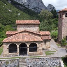
Church of Santa María
10.7 km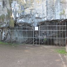
Cueva del Pindal
10.7 km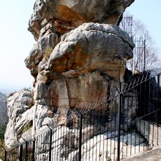
Peña Tú
12.2 km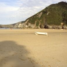
Playa de La Franca
9.1 km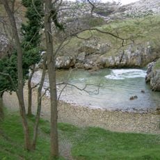
Playa de Cobijero
9.6 km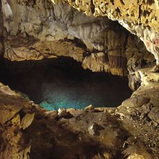
Cave of Chufín
10.9 km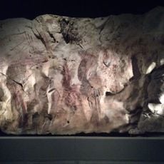
Cueva de Llonín
5 km
Rábago-El Soplao fossil site
11.6 km
Playa del Sable (Val de San Vicente)
12.6 km
Bolera de los Moros
7.9 km
Phare de San Emeterio
10.8 km
Cave Pindal
10.7 km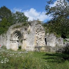
Church of San Pedro de Plecín
9.3 km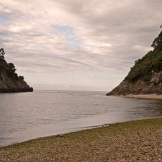
Playa del Pedreru
10.9 km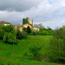
Tower of Noriega
5.8 km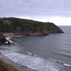
Playa de Aramal
12.3 km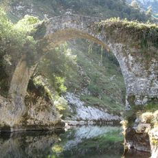
La Vidre Bridge
10.3 km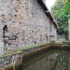
Ferrería de Cades
10.1 km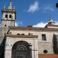
Iglesia de San Pedro
9.5 km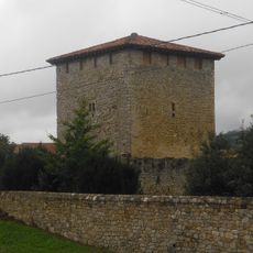
Tower of Cabanzón
7.6 km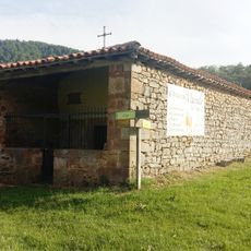
Hermitage of Santa Catalina, Peñarrubia
8.3 km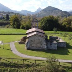
Iglesia de San Juan
1.1 km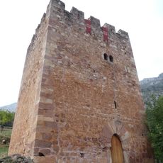
Torre del Pontón
6.4 km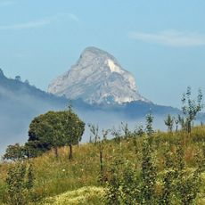
Pica de Peñamellera
6 km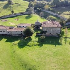
Palace of San Roman de Panes
1.1 km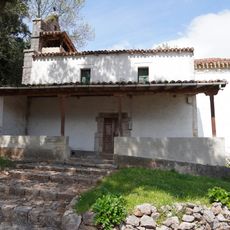
Iglesia de San Juan
2.8 km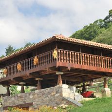
El Mazo
3.6 km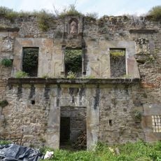
Palace of Don Francisco Sánchez de Caso
2.4 kmReviews
Visited this place? Tap the stars to rate it and share your experience / photos with the community! Try now! You can cancel it anytime.
Discover hidden gems everywhere you go!
From secret cafés to breathtaking viewpoints, skip the crowded tourist spots and find places that match your style. Our app makes it easy with voice search, smart filtering, route optimization, and insider tips from travelers worldwide. Download now for the complete mobile experience.

A unique approach to discovering new places❞
— Le Figaro
All the places worth exploring❞
— France Info
A tailor-made excursion in just a few clicks❞
— 20 Minutes