
Kumia, village or neigbourhood in Lahti, Finland
Location: Lahti
Elevation above the sea: 87 m
GPS coordinates: 60.98092,25.94249
Latest update: March 4, 2025 18:47

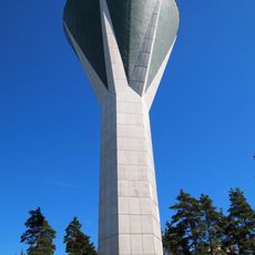
Mustankallio water tower
14.7 km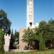
Ristinkirkko
15.4 km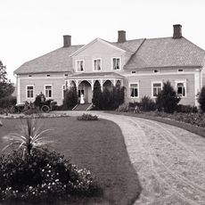
Seesta Manor
8.6 km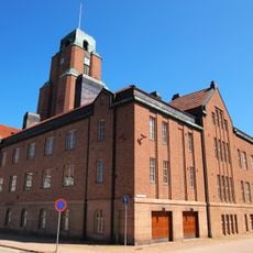
Lahti Town Hall
15.5 km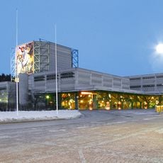
Lahti City Theatre
14.7 km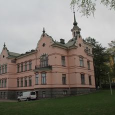
Fellman Manor
15.7 km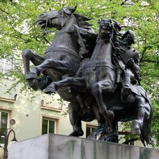
Hakkapeliitta's Homecoming
15.5 km
Lahti Mosque
15.4 km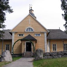
Nastola Church
3.7 km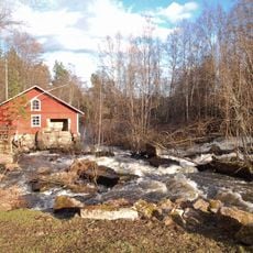
Immilä Mill
4.6 km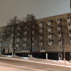
Asunto Oy Lahden Hämeenkatu 24
15.2 km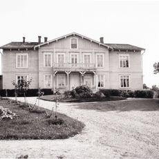
Arrajoki manor
5.6 km
Lahti Art Museum
15.1 km
Aino
15.7 km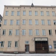
Église de Luther
15.3 km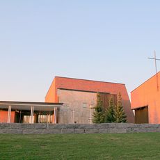
Mukkulan kirkko
15.4 km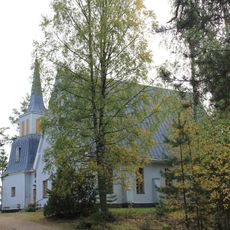
Kuivanto Church
14 km
Lahden aikuiskoulutuskeskus
14.6 km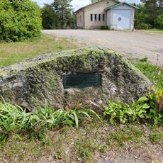
Ristimäki grave field
8.7 km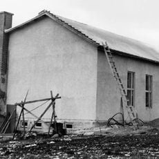
Ahtialan työväentalo
9.5 km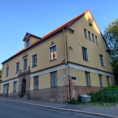
Millerin talo
15.5 km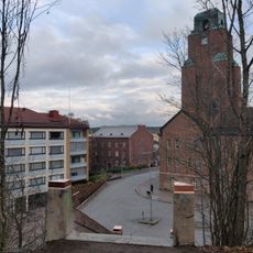
Janhusen talo
15.5 km
Hämeenkatu 5
15.6 km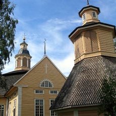
Église de Nastola
3.7 km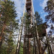
Mountain Troll's observation tower
12 km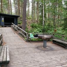
Seelammi lean-to
2.3 km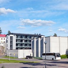
Pajulahti
1.1 km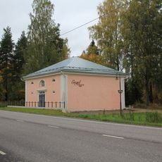
Engel makasiini
7.2 kmVisited this place? Tap the stars to rate it and share your experience / photos with the community! Try now! You can cancel it anytime.
Discover hidden gems everywhere you go!
From secret cafés to breathtaking viewpoints, skip the crowded tourist spots and find places that match your style. Our app makes it easy with voice search, smart filtering, route optimization, and insider tips from travelers worldwide. Download now for the complete mobile experience.

A unique approach to discovering new places❞
— Le Figaro
All the places worth exploring❞
— France Info
A tailor-made excursion in just a few clicks❞
— 20 Minutes