
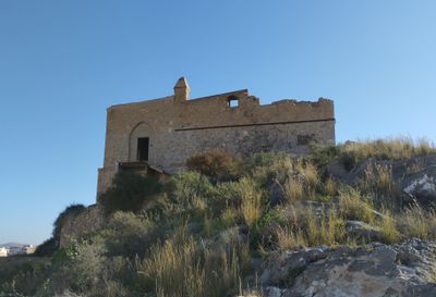
Monte Sacro water tank, former water supply station in Cartagena, Spain
Location: Cartagena
Inception: 1896
GPS coordinates: 37.60471,-0.98174
Latest update: March 3, 2025 17:37
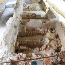
Punic wall of Cartagena
283 m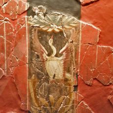
House of Fortune
281 m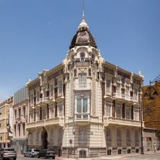
Palacio de Aguirre
205 m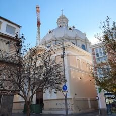
Basilica of Nuestra Señora de la Caridad, Cartagena
235 m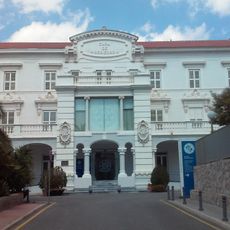
Casa de Misericordia de Cartagena
203 m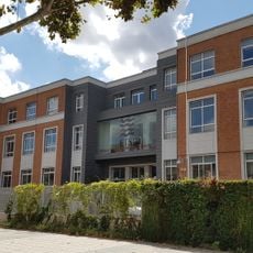
Escuela Técnica Superior de Ingeniería Agronómica (Universidad Politécnica de Cartagena)
232 m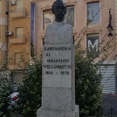
Monument to Commander Villamartín, Cartagena
197 m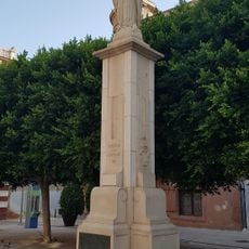
Monument to Immaculata, Cartagena
272 m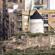
Windmill-house of Monte Sacro
102 m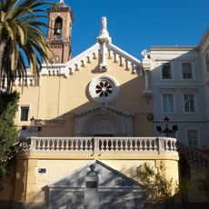
Church of San Diego
183 m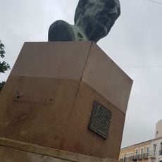
Monument to Isidoro Valverde
238 m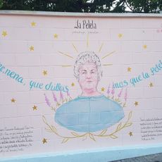
La Pelela
103 m
Temple of Augustus, Cartagena
307 m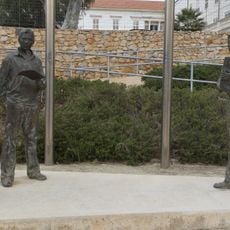
Monument to the university community
252 m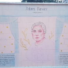
Dolores Narváez
102 m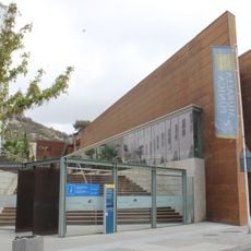
Centro de Interpretación de la Muralla Púnica
280 m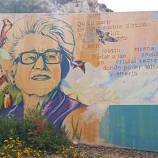
María Teresa Cervantes
305 m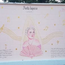
Finita Imperio
103 m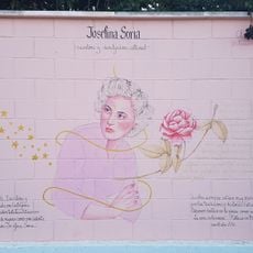
Josefina Soria
102 m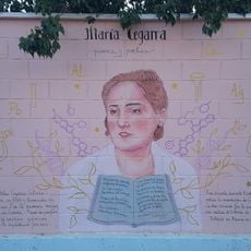
María Cegarra
102 m
Casa de Celestino Martínez
170 m
Archivo Municipal de Cartagena
304 m
Casa de Antonio Paredes
208 m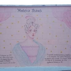
Antera Baus
104 m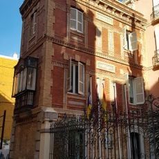
Casa Moreno
271 m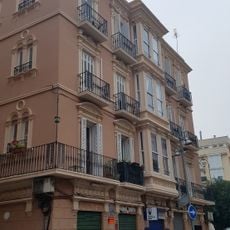
Bonmatí building
258 m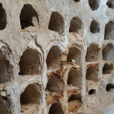
Crypt of San José
285 m
Berruezo Céspedes building
255 mReviews
Visited this place? Tap the stars to rate it and share your experience / photos with the community! Try now! You can cancel it anytime.
Discover hidden gems everywhere you go!
From secret cafés to breathtaking viewpoints, skip the crowded tourist spots and find places that match your style. Our app makes it easy with voice search, smart filtering, route optimization, and insider tips from travelers worldwide. Download now for the complete mobile experience.

A unique approach to discovering new places❞
— Le Figaro
All the places worth exploring❞
— France Info
A tailor-made excursion in just a few clicks❞
— 20 Minutes