
Menhir de Kerdehoret, menhir à Quéven en Bretagne
Location: Quéven
Height: 2.2 m
GPS coordinates: 47.79185,-3.45614
Latest update: June 24, 2025 01:03
Les terres de Nataé
4.2 km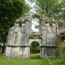
Abbaye Notre-Dame de Carnoët
5.6 km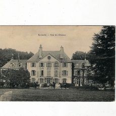
Château de Kerbastic
3.6 km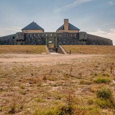
Fort du Loch
6 km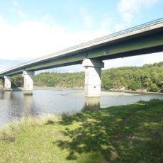
Pont de Saint-Maurice
5.1 km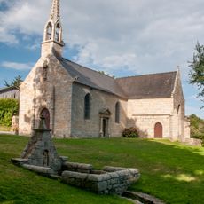
Chapelle Saint-Mathieu de Guidel
4.4 km
Kerroc'h dolmen
3.1 km
Réserve naturelle régionale des étangs du petit et du grand Loc'h
4.8 km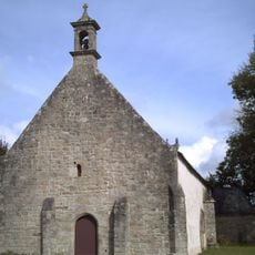
Chapelle Saint-Servais de Pont-Scorff
5.6 km
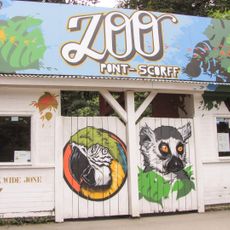
Metropolis Fun Park
5.1 km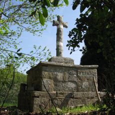
Croix de Kervegan
6 km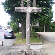
Calvaire de Quéven
3 km
Ker ar C'hoari
4.6 km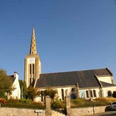
Église Notre-Dame-des-Fleurs de Gestel
1.7 km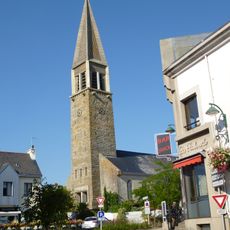
Église Saint-Pierre-et-Saint-Paul de Guidel
2.4 km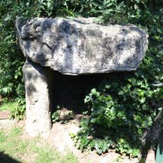
Dolmen de la Mairie
2.5 km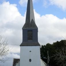
Chapelle Saint-Aubin de Pont-Scorff
5.9 km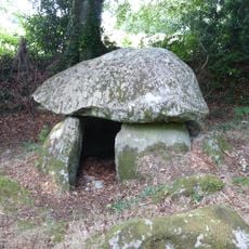
Dolmen de Lesvariel
2.3 km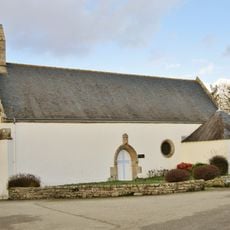
Chapelle Sainte-Marguerite de Rédéné
5.2 km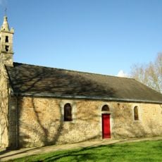
Chapelle Saint-Laurent de Kerdalhué
4 km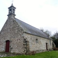
Chapelle Saint-Nicodème de Saint-Nicodème
2.8 km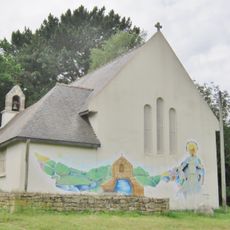
Chapelle Notre-Dame-de-Bon-Secours de Quéven
5.1 km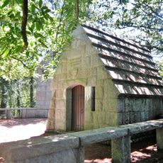
Chapelle Polignac
4.8 km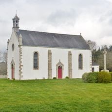
Chapelle de la Madeleine de Guidel
2.1 km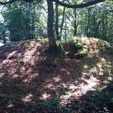
Tumulus de Kerméné
1.6 km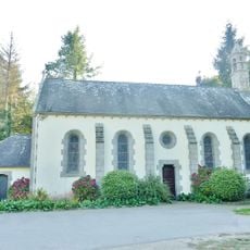
Chapelle Saint-Michel de Saint-Michel
4.2 km
Beg-Nénez tide mill
5.1 km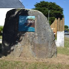
Menhir d'Er Herine
5.4 kmReviews
Visited this place? Tap the stars to rate it and share your experience / photos with the community! Try now! You can cancel it anytime.
Discover hidden gems everywhere you go!
From secret cafés to breathtaking viewpoints, skip the crowded tourist spots and find places that match your style. Our app makes it easy with voice search, smart filtering, route optimization, and insider tips from travelers worldwide. Download now for the complete mobile experience.

A unique approach to discovering new places❞
— Le Figaro
All the places worth exploring❞
— France Info
A tailor-made excursion in just a few clicks❞
— 20 Minutes