
Broughton, village and civil parish in Northamptonshire, UK
Location: North Northamptonshire
GPS coordinates: 52.37120,-0.77500
Latest update: March 4, 2025 00:11
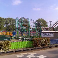
Wicksteed Park
5.1 km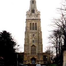
Church of St Peter and St Paul
4.4 km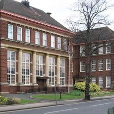
Kettering Municipal Offices
4.3 km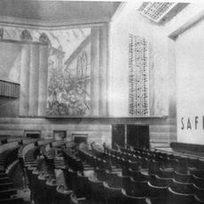
Kettering Savoy
4.9 km
Badsaddle, Withmale Park and Bush Walk Woods
3.5 km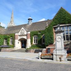
Kettering Library
4.3 km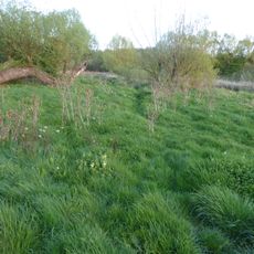
Southfield Farm Marsh
5 km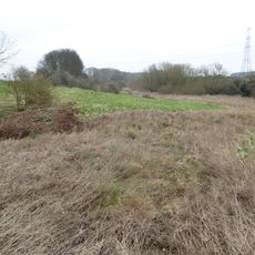
Birch Spinney and Mawsley Marsh
2.8 km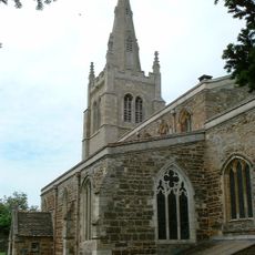
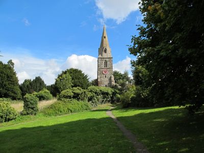
Church of St Andrew
1.2 km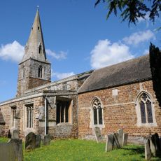
Church of St Andrew
376 m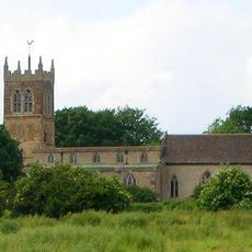
Church of All Saints, Pytchley
2.6 km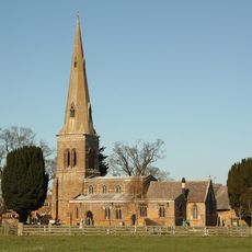
Church of St Leonard
3.5 km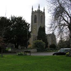
Church of St Mary
4 km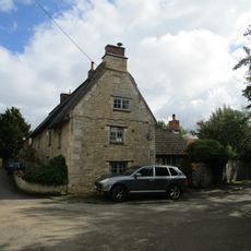
Keeper's Cottage
2.3 km
Barns Approximately 40 Metres East Of The Old Rectory
4.2 km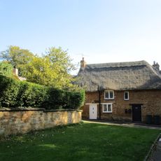
Bonnevie Cottage
3.5 km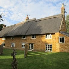
Stable Yard Cottages
3.5 km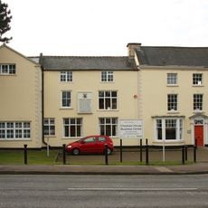
Chesham House
4.5 km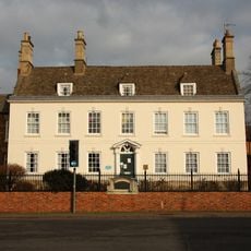
Carey House
4.6 km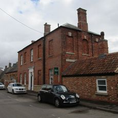
Old School House
2.5 km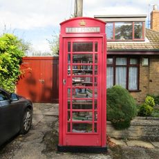
K6 Telephone Kiosk
4 km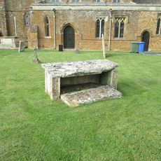
Chest Tomb 15 Metres South Of Church Of St Leonard
3.5 km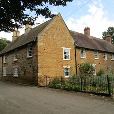
Squires' Farmhouse
1.3 km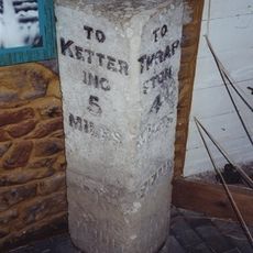
Manor House
4.3 km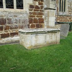
Chest Tomb Half A Mile South Of South Aisle Of Church Of St Andrew
1.2 km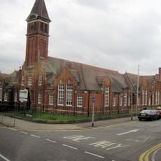
Main Block Of Secondary Modern School For Girls
4.9 km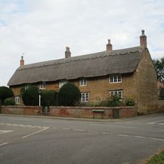
White Hill Farmhouse
1.4 km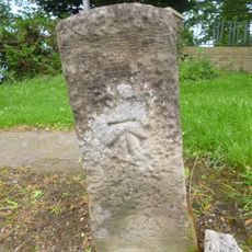
Milestone, Barton Road, at entrance to Wickstead Park
4.9 kmReviews
Visited this place? Tap the stars to rate it and share your experience / photos with the community! Try now! You can cancel it anytime.
Discover hidden gems everywhere you go!
From secret cafés to breathtaking viewpoints, skip the crowded tourist spots and find places that match your style. Our app makes it easy with voice search, smart filtering, route optimization, and insider tips from travelers worldwide. Download now for the complete mobile experience.

A unique approach to discovering new places❞
— Le Figaro
All the places worth exploring❞
— France Info
A tailor-made excursion in just a few clicks❞
— 20 Minutes