
Keyingham, village in the United Kingdom
Location: East Riding of Yorkshire
GPS coordinates: 53.71120,-0.11260
Latest update: May 5, 2025 07:17
Fort Paull
7.3 km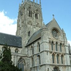
St. Augustine's Church, Hedon
6.6 km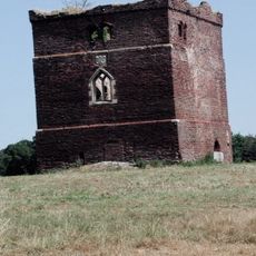
Paull Holme Tower
6.2 km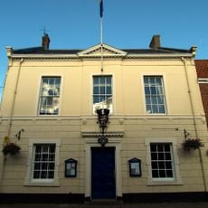
Hedon Town Hall
6.5 km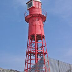
Thorngumbald Clough High Lighthouse
7.5 km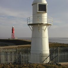
Thorngumbald Clough Low Lighthouse
7.5 km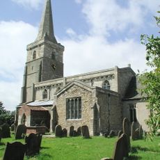
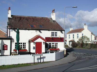
Church of St Wilfred
2.4 km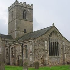
Church of St Andrew
7.4 km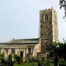
Church of All Saints
3.1 km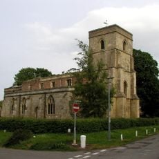
Church of St Nicholas
150 m
Church of St Mary
4 km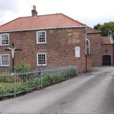
Church of St Mary and St Joseph
6.4 km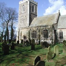
Church of All Saints
3.1 km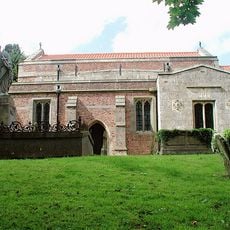
Church of St Germain
5.5 km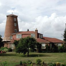
Windmill Tower At Mill Nurseries
870 m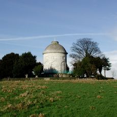
Constable Mausoleum
3.3 km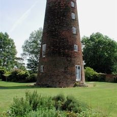
Windmill
5.4 km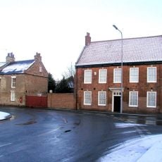
The Old Hall
6.3 km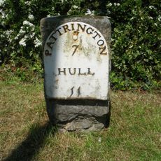
Milestone Approximately 30 Metres South Of Southlands
3 km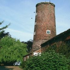
Windmill Tower Approximately 20 Metres South West Of Mill House
286 m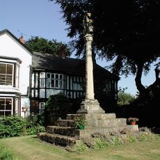
Ravenspurn Cross
6.5 km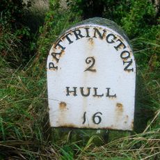
Milestone Approximately 30 Metres North West Of Junction With Winestead Ings Lane
4.5 km
Base Of St Philip's Cross Approximately 10 Centimetres East Of Ebor House
183 m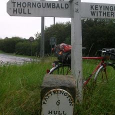
Milestone Approximately 150 Metres North-West Of High Bridge
1.6 km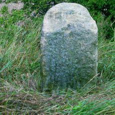
Milestone Approximately 130 Metres East Of Beck Bridge
2.9 km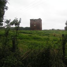
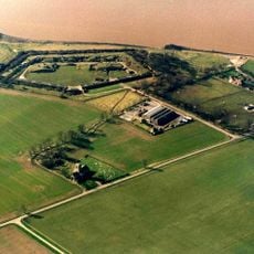
Paull Holme moated site and tower
6.2 km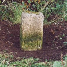
Milestone, Winestead, N of entrance to Manor Farm
5.3 km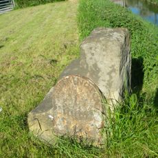
Milestone, Winstead Bridge, 1 mile W of Patrington
5.7 kmReviews
Visited this place? Tap the stars to rate it and share your experience / photos with the community! Try now! You can cancel it anytime.
Discover hidden gems everywhere you go!
From secret cafés to breathtaking viewpoints, skip the crowded tourist spots and find places that match your style. Our app makes it easy with voice search, smart filtering, route optimization, and insider tips from travelers worldwide. Download now for the complete mobile experience.

A unique approach to discovering new places❞
— Le Figaro
All the places worth exploring❞
— France Info
A tailor-made excursion in just a few clicks❞
— 20 Minutes