
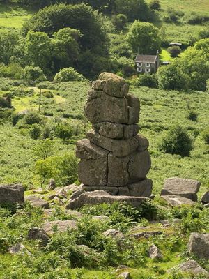
Bowerman's Nose, tor on Dartmoor, England
Location: Devon
Elevation above the sea: 390 m
GPS coordinates: 50.61060,-3.77932
Latest update: June 3, 2025 01:47
Jay's Grave
1.1 km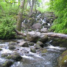
Becky Falls
2 km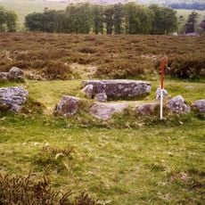
Ring cairn south west of Hound Tor, 215m east of East Lodge
1.7 km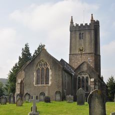
Church of St John the Baptist
3.3 km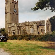
Church of St Winifrid
1.1 km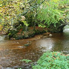
Bovey Bridge
3.3 km
The Old Post Office, Ivy Cottage And Ingrik (Row Of Cottages At South-East Corner Of Green)
3.4 km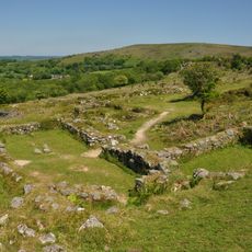
Hound Tor Deserted Medieval Village
1.8 km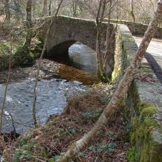
Beckaford Bridge
1.5 km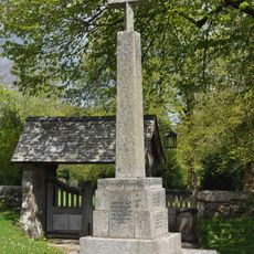
Manaton War Memorial
1.1 km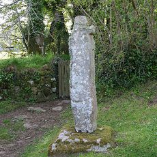
Churchyard Cross Approximately 17 Metres South West Of Church Of St. Winifrid
1 km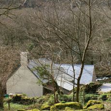
Foxworthy Mill House And Mill
2.2 km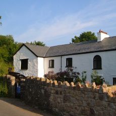
New (Corn) Mill
3.3 km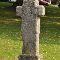
North Bovey village cross: a wayside cross at the south west end of North Bovey village green
3.4 km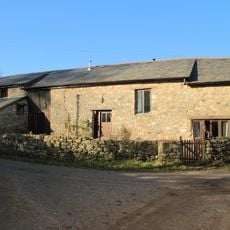
Lower Hookney Farmhouse
3.4 km
Earthwork in Houndtor Wood
2.6 km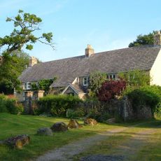
Gate Piers Directly To South, South East Of Old Yarde Farmhouse
3.3 km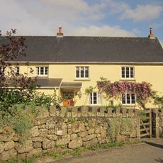
Aller Farmhouse
2.7 km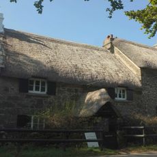
Swallerton Gate
1.4 km
Mill Farmhouse
840 m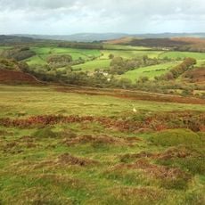
Hedge Barton Farmhouse
1.8 km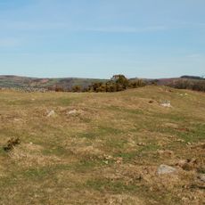
Hunter's Tor Camp
2.8 km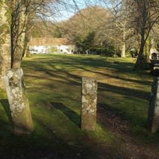
Half Moon House
1.1 km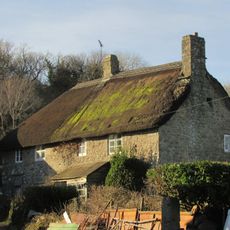
Southcott Farmhouse
843 m
Barn About 10 Metres South-West Of Foxworthy Farmhouse
2.3 km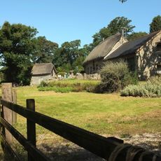
Linhay About 5 Metres South-West Of Barn At Foxworthy Farm
2.2 km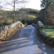
Road Bridge Over River Bovey East South East Of Fairbrook Cottage At Grid Ref 740 836
3.1 km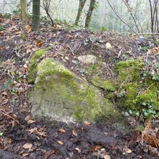
Milestone, 25m N of Stouts
3.2 kmReviews
Visited this place? Tap the stars to rate it and share your experience / photos with the community! Try now! You can cancel it anytime.
Discover hidden gems everywhere you go!
From secret cafés to breathtaking viewpoints, skip the crowded tourist spots and find places that match your style. Our app makes it easy with voice search, smart filtering, route optimization, and insider tips from travelers worldwide. Download now for the complete mobile experience.

A unique approach to discovering new places❞
— Le Figaro
All the places worth exploring❞
— France Info
A tailor-made excursion in just a few clicks❞
— 20 Minutes