
Boundary stone 110m north west of St Mary's Church
Boundary stone 110m north west of St Mary's Church, boundary marker in Sticklepath, West Devon, England, UK
Location: Sticklepath
Part of: political border
GPS coordinates: 50.73080,-3.93003
Latest update: March 9, 2025 08:01

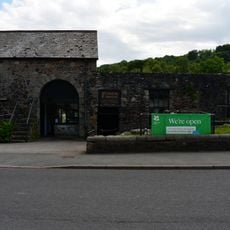
Finch Foundry
296 m
National Trust - Finch Foundry
296 m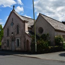
Methodist Chapel
168 m
Taw River Inn
327 m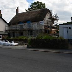
Post Office
331 m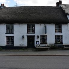
Devonshire Inn
268 m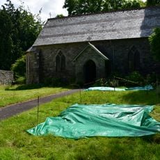
St Mary's Church
105 m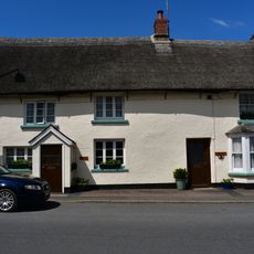
The Dairy And Adjoining Cottage To Its East
297 m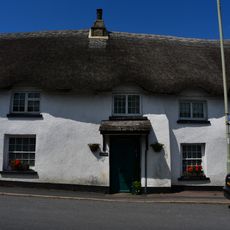
Tudor Cottage
289 m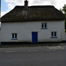
Chantry's Cottage
242 m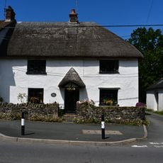
The Old Cottage
127 m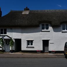
Carbery And Bracon Cottages And Adjoining Cottage To East
271 m
Foundry Cottage
277 m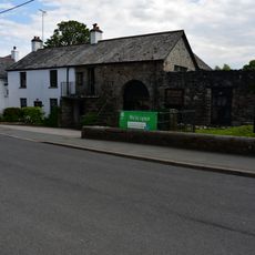
Finch Foundry Foundry House
303 m
Staplers The Heritage
186 m
Sunnyside Cottage
311 m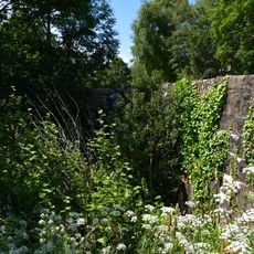
Sticklepath Bridge
478 m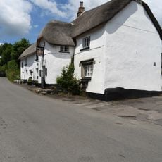
The Kings Arms
1.2 km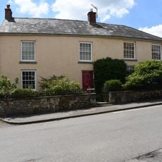
Yellands
1.2 km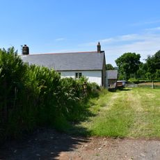
Ford Farmhouse
767 m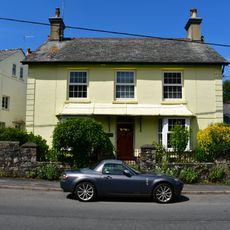
Sunnyside With Attached Outbuildings
211 m
Barn Approximately 1.5 Metres North Of Ford Farmhouse
749 m
Primula House
385 m
Cleave House
78 m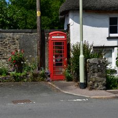
K6 Telephone Kiosk Opposite Finchs Foundry
265 m
Silverlake
411 m
Taw Leat And Cottage Adjoining To Left
423 m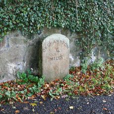
Milestone, by drive of Trafalgar House, S end of Sticklepath
719 mVisited this place? Tap the stars to rate it and share your experience / photos with the community! Try now! You can cancel it anytime.
Discover hidden gems everywhere you go!
From secret cafés to breathtaking viewpoints, skip the crowded tourist spots and find places that match your style. Our app makes it easy with voice search, smart filtering, route optimization, and insider tips from travelers worldwide. Download now for the complete mobile experience.

A unique approach to discovering new places❞
— Le Figaro
All the places worth exploring❞
— France Info
A tailor-made excursion in just a few clicks❞
— 20 Minutes