
Baksa district, district of Assam, India
Location: Lower Assam division
Shares border with: Chirang district, Nalbari district, Udalguri district, Kamrup district
Website: http://baksa.gov.in
GPS coordinates: 26.58083,91.42028
Latest update: March 3, 2025 09:14
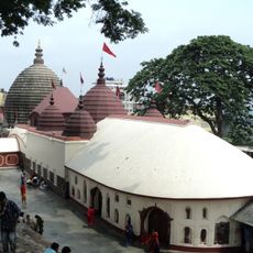
Kamakhya Temple
54.2 km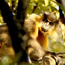
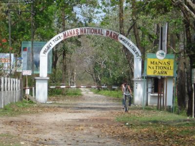
Manas National Park
50.8 km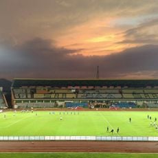
Sarusajai Stadium
61.9 km
Umananda Temple
53.7 km
Assam State Zoo cum Botanical Garden
58.8 km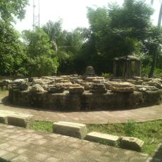
Madan Kamdev
43.2 km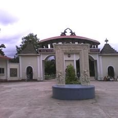
Srimanta Sankaradeva Kalakshetra
64.2 km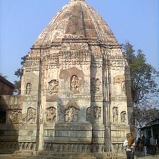
Hayagriva Madhava Temple
39.2 km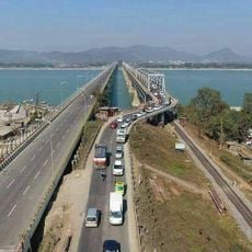
New Saraighat bridge
51.6 km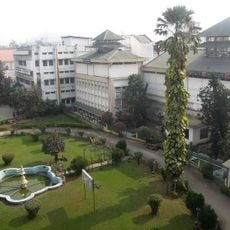
Assam State Museum
55.1 km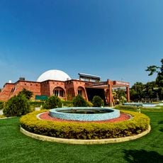
Guwahati Planetarium
54.5 km
Saraighat Bridge
51.7 km
Garbhanga Wildlife Sanctuary
63.4 km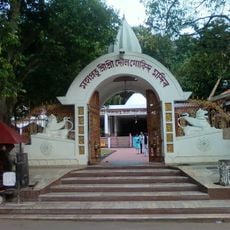
Doul Govinda Temple
51 km
Garchuk Lachit Garh
60.3 km
Bagheswari Temple, Bongaigaon
19 km
Northbrook Gate
54.1 km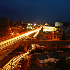
Bhangagarh
51.3 km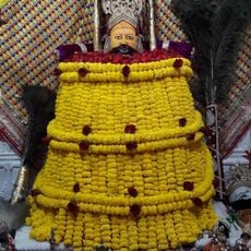
Shree Shyam Mandir, Guwahati
55.1 km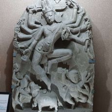
Ambari Archeological Site
51.6 km
Santuário de Fauna de Manas
42 km
Sri Kameswar Temple
40.1 km
Sri Ganesh Temple, Hajo
40 km
Deeparbill Bridge
57.1 km
Sri Kedar Temple
39.7 km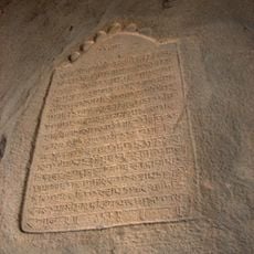
Duargarila Rock inscription
55 km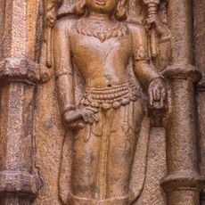
Kamakhya Hill rock cut figures
54.2 km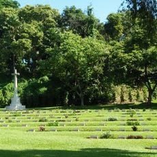
Gauhati War Cemetery
55.6 kmReviews
Visited this place? Tap the stars to rate it and share your experience / photos with the community! Try now! You can cancel it anytime.
Discover hidden gems everywhere you go!
From secret cafés to breathtaking viewpoints, skip the crowded tourist spots and find places that match your style. Our app makes it easy with voice search, smart filtering, route optimization, and insider tips from travelers worldwide. Download now for the complete mobile experience.

A unique approach to discovering new places❞
— Le Figaro
All the places worth exploring❞
— France Info
A tailor-made excursion in just a few clicks❞
— 20 Minutes