
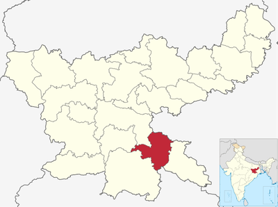
Seraikela Kharsawan district, district of Jharkhand, India
Location: Kolhan division
Capital city: Saraikela
Shares border with: Ranchi district, East Singhbhum district
Website: http://seraikela.nic.in
GPS coordinates: 22.70000,85.92000
Latest update: April 18, 2025 17:52
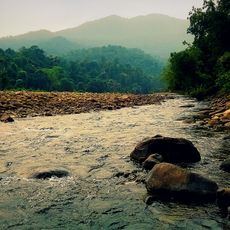
Simlipal National Park
113.9 km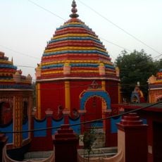
Chhinnamasta Temple
106 km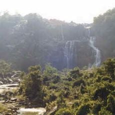
Hundru Falls
87.5 km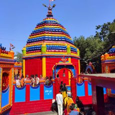
Rajrappa
106 km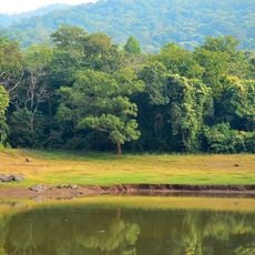
Dalma Wildlife Sanctuary
38 km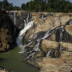
Dassam Falls
68 km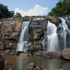
Jonha Falls
78.3 km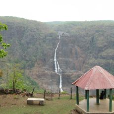
Barehipani Falls
97.6 km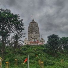
Jagannath Temple
94.8 km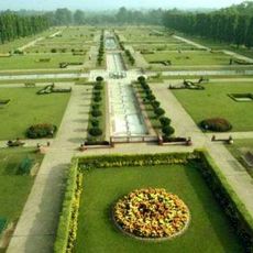
Jubilee Park, Jamshedpur
30.8 km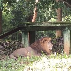
Bhagwan Birsa Biological Park
96.8 km
Tata Steel Zoological Park
31.1 km
Surya Temple, Ranchi
65 km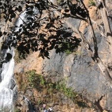
Hirni Falls
58.3 km
Tagore Hill
98.2 km
Ranchi Science Centre
98.6 km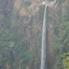
Joranda Falls
98.4 km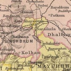
Dhalbhum
90.1 km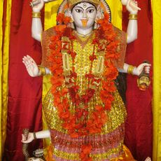
Sri Sri Kalika Maharani Temple
108.8 km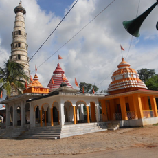
Amreshwar Dham
82.6 km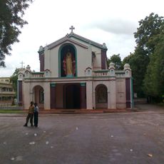
Sacred Heart Cathedral, Rourkela
118.9 km
Krishok Setu
65.4 km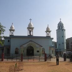
Saint Michael Cathedral (Khunti)
77.5 km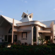
St Xavier's Church, Ranchi
96 km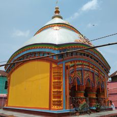
Shyam Sundar temple
112.8 km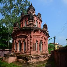
Lakshmi Janaradan temple
116.5 km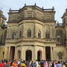
Kashipur Rajbari
111.9 km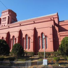
Christ Church, Ranchi
95.2 kmReviews
Visited this place? Tap the stars to rate it and share your experience / photos with the community! Try now! You can cancel it anytime.
Discover hidden gems everywhere you go!
From secret cafés to breathtaking viewpoints, skip the crowded tourist spots and find places that match your style. Our app makes it easy with voice search, smart filtering, route optimization, and insider tips from travelers worldwide. Download now for the complete mobile experience.

A unique approach to discovering new places❞
— Le Figaro
All the places worth exploring❞
— France Info
A tailor-made excursion in just a few clicks❞
— 20 Minutes