
Battuda, Italian comune
Location: Province of Pavia
Capital city: Battuda
Elevation above the sea: 98 m
Shares border with: Marcignago, Rognano, Trivolzio, Trovo, Vellezzo Bellini
Website: http://comune.battuda.pv.it
GPS coordinates: 45.27175,9.06365
Latest update: April 23, 2025 14:59

Certosa di Pavia
6.8 km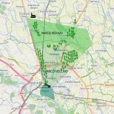
Visconti Park
10 km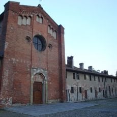
San Lanfranco Church
10.1 km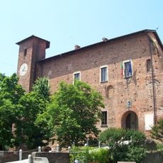
Castello Visconteo
7.3 km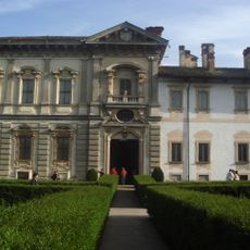
Museo della Certosa
6.7 km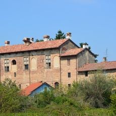
Mirabello Castle
9.9 km
Castle of Bereguardo
3.3 km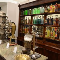
MUMAC
7.6 km
Riserva naturale Bosco Siro Negri
6.8 km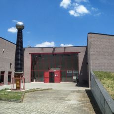
Museum of Electrical Technique
9.3 km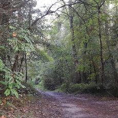
Parco della Sora
9.3 km
San Riccardo Pampuri
1.6 km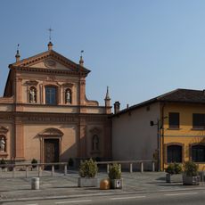
San Michele Arcangelo
5.7 km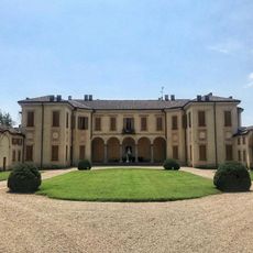
Villa Botta Adorno
6.2 km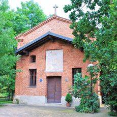
Chiesa di Santa Sofia (Torre d'Isola)
7.9 km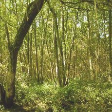
Riserva naturale Garzaia della Carola
8.9 km
Sant'Antonio Abate Church
3.3 km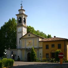
Chiesa di Santa Maria della Neve
6.2 km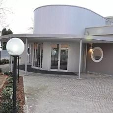
CineTeatro Cesare Volta
10.2 km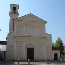
Chiesa di Sant'Apollinare Vescovo e Martire
4.6 km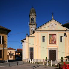
San Biagio
2.5 km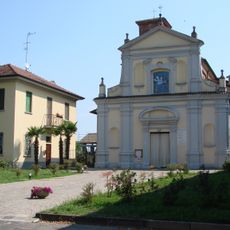
Chiesa di San Brizio Vescovo
4.9 km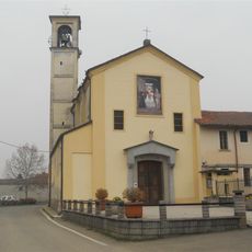
Sant’Ambrogio ad Nemus Church
6 km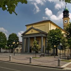
Santo Stefano Church
9.4 km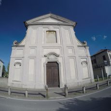
San Michele Arcangelo church
9.6 km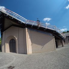
Santo Spirito church
8 km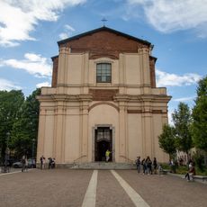
Santi Giovanni Battista e Stefano Protomartire
7.4 km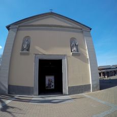
San Sebastiano church
9.7 kmReviews
Visited this place? Tap the stars to rate it and share your experience / photos with the community! Try now! You can cancel it anytime.
Discover hidden gems everywhere you go!
From secret cafés to breathtaking viewpoints, skip the crowded tourist spots and find places that match your style. Our app makes it easy with voice search, smart filtering, route optimization, and insider tips from travelers worldwide. Download now for the complete mobile experience.

A unique approach to discovering new places❞
— Le Figaro
All the places worth exploring❞
— France Info
A tailor-made excursion in just a few clicks❞
— 20 Minutes