
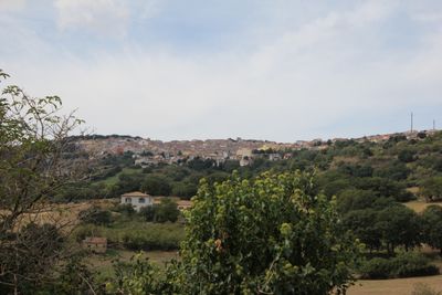
Pattada, Italian comune
Location: Province of Sassari
Capital city: Pattada
Elevation above the sea: 778 m
Shares border with: Benetutti, Buddusò, Bultei, Nughedu San Nicolò, Oschiri, Ozieri, Nule, Osidda
Website: http://comune.pattada.ss.it
GPS coordinates: 40.58222,9.11000
Latest update: March 11, 2025 20:53
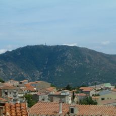
Monte Lerno
5.6 km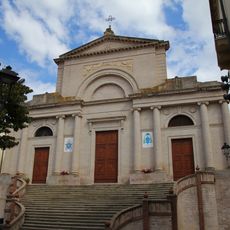
Cathedral
9 km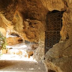
Grotte di San Michele
9 km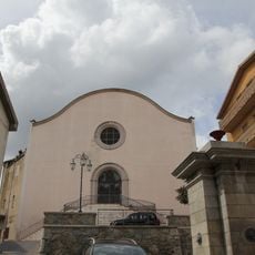
Santa Sabina
285 m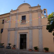
San Francesco
9.3 km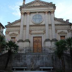
Santa Lucia
9.1 km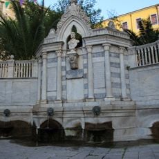
Fontana Grixoni
8.9 km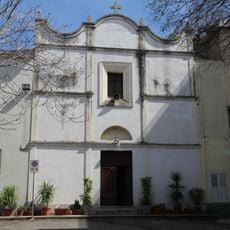
Chiesa dei Santi Cosma e Damiano
9.1 km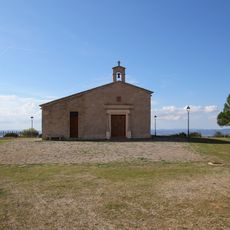
Beata Vergine di Monserrato
10.1 km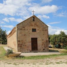
San Nicola, sec. XIII
10.4 km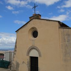
Chiesa della Beata Vergine del Loreto
9.3 km
Ozieri civic archaeological museum
9 km
San Nicola
7.9 km
Madonna del Rosario
113 m
San Sebastiano
9.2 km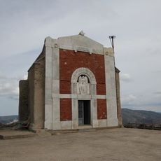
San Gavino
211 m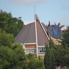
Santo Bambino di Praga
8.5 km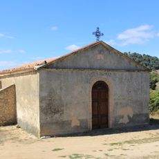
San Nicola
4.3 km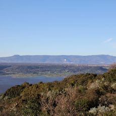
Monte Fraidorzu
7.8 km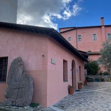
Museum
9 km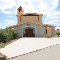
Chiesa nuova di San Nicola
10.5 km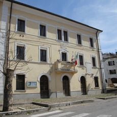
Town hall of Nughedu San Nicolò
8 km
Chiesa di Santo Stefano in Vigne
6.7 km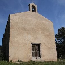
Chiesa di San Piero
7.8 km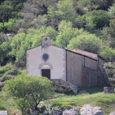
Chiesa di Sant'Antonio
8.3 km
Casa cantoniera di Sas Piras
10.5 km
Casa cantoniera di Monte Uri
11.9 km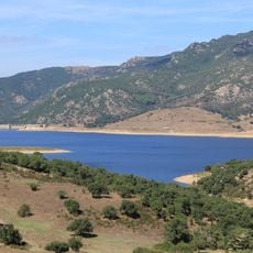
Lago Lerno
3.6 kmReviews
Visited this place? Tap the stars to rate it and share your experience / photos with the community! Try now! You can cancel it anytime.
Discover hidden gems everywhere you go!
From secret cafés to breathtaking viewpoints, skip the crowded tourist spots and find places that match your style. Our app makes it easy with voice search, smart filtering, route optimization, and insider tips from travelers worldwide. Download now for the complete mobile experience.

A unique approach to discovering new places❞
— Le Figaro
All the places worth exploring❞
— France Info
A tailor-made excursion in just a few clicks❞
— 20 Minutes