
Lula, Italian comune
Location: Province of Nuoro
Elevation above the sea: 521 m
Website: http://www.comune.lula.nu.it/
Shares border with: Bitti, Dorgali, Galtellì, Irgoli, Loculi, Lodè, Onanì, Orune, Siniscola
Website: http://comune.lula.nu.it
GPS coordinates: 40.47020,9.48618
Latest update: March 8, 2025 08:42

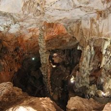
Grotta di Ispinigoli
19.3 km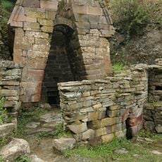
Fonte Sacra Su Tempiesu
9.1 km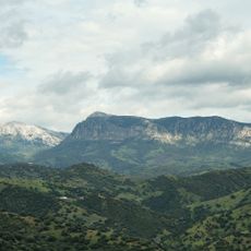
Monte Albo
12.9 km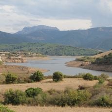
Parc naturel régional de Tepilora, Sant'Anna et Rio Posada
17.6 km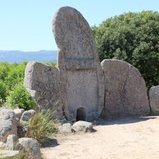
S’Ena ’e Thomes
10.4 km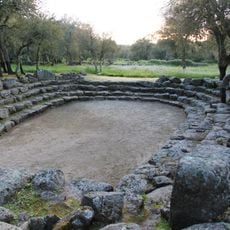
Su Romanzesu
15.2 km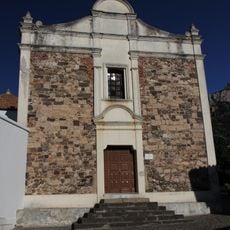
Santissimo Crocifisso
14.4 km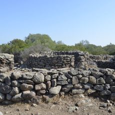
Serra Orrios
15.8 km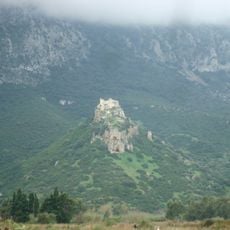
Castello di Pontes
15.6 km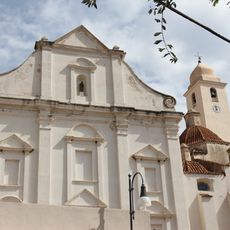
San Giacomo
20.4 km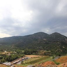
Monte Tuttavista
16.1 km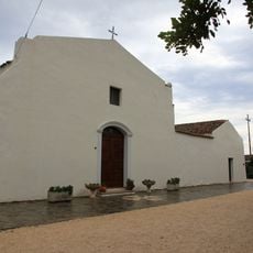
Nostra Signora del Rimedio
19.4 km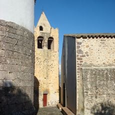
San Pietro
14.5 km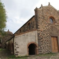
Church of Sant'Antonio Abate
20.3 km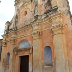
Chiesa del Rosario
20.4 km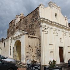
Chiesa delle Anime
20.4 km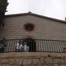
Santa Maria Maddalena church
17.6 km
Nostra Signora di Loddhusio
19.1 km
Sant'Antonio da Padova
14.2 km
Chiesa della Pietà
20.4 km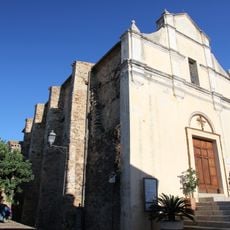
Beata Vergine Assunta
14.3 km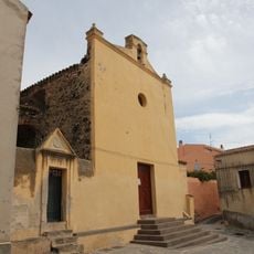
Santa Croce
20.4 km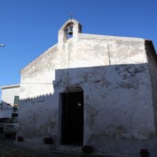
San Francesco
14.3 km
Ex convento dei Padri mercedari
14.3 km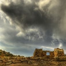
Area archeologica di Janna 'e Pruna
13.9 km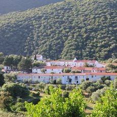
Santuario di S'Annossata
13.9 km
Town hall of Galtellì
14.5 km
San Francesco (Lula)
1.7 kmReviews
Visited this place? Tap the stars to rate it and share your experience / photos with the community! Try now! You can cancel it anytime.
Discover hidden gems everywhere you go!
From secret cafés to breathtaking viewpoints, skip the crowded tourist spots and find places that match your style. Our app makes it easy with voice search, smart filtering, route optimization, and insider tips from travelers worldwide. Download now for the complete mobile experience.

A unique approach to discovering new places❞
— Le Figaro
All the places worth exploring❞
— France Info
A tailor-made excursion in just a few clicks❞
— 20 Minutes