Mount Nishikuma, mountain in Japan
Location: Kōchi Prefecture
Location: Tokushima Prefecture
Elevation above the sea: 1,815.9 m
GPS coordinates: 33.83522,133.96397
Latest update: March 3, 2025 11:15
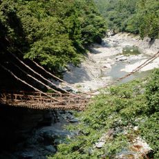
Kazura bridge at the Iya Valley
12.7 km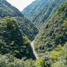
Iya Valley
12.7 km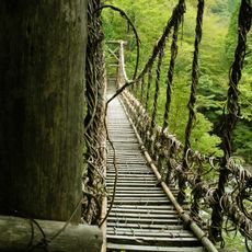
Okui-Iya Nijū Kazurabashi
7.8 km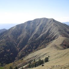
Mount Jirōgyū
11.3 km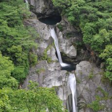
Todoro Falls
18.2 km
Roadside station Oboke
19.5 km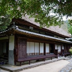
Heike Yashiki Museum of Folklore
17.7 km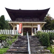
Jōfuku-ji
18.6 km
Konosekyo
11.8 km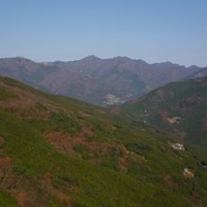
Mount Yahazu
10 km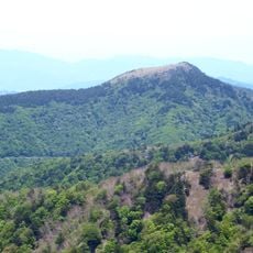
Mount Shiraga
3.9 km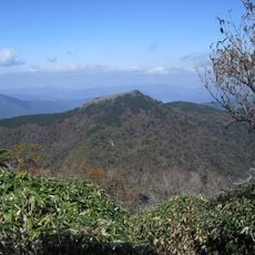
Mount Marusasa
12.4 km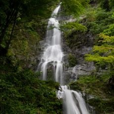
Naru-Wasserfall
18.9 km
地福寺
19 km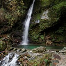
Biwa Falls
12.6 km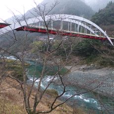
Oboke Bridge
18.8 km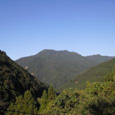
Mount Yatsura
15.9 km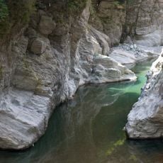
Ichiukyo
14.7 km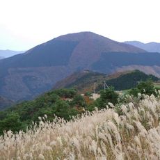
Mount Nakatsu
14.9 km
安楽寺
16.8 km
秘境祖谷大橋
13.2 km
Mt. Konose
6.9 km
光明寺
19.5 km
Yoshii Isamu Memorial Museum
17.5 km
Mount Oryūdani
16.4 km
Mount Tsurugi
12.2 km
Mount Miune
2.2 km
Chiiori
10.1 kmReviews
Visited this place? Tap the stars to rate it and share your experience / photos with the community! Try now! You can cancel it anytime.
Discover hidden gems everywhere you go!
From secret cafés to breathtaking viewpoints, skip the crowded tourist spots and find places that match your style. Our app makes it easy with voice search, smart filtering, route optimization, and insider tips from travelers worldwide. Download now for the complete mobile experience.

A unique approach to discovering new places❞
— Le Figaro
All the places worth exploring❞
— France Info
A tailor-made excursion in just a few clicks❞
— 20 Minutes