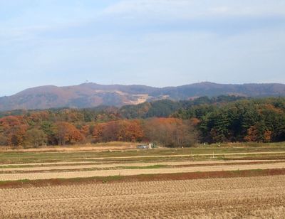
馬ノ神山, Berg in Japan
Location: Aomori Prefecture
Elevation above the sea: 549.2 m
GPS coordinates: 40.82896,140.57711
Latest update: March 7, 2025 23:03
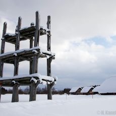
Sannai-Maruyama Site
10.2 km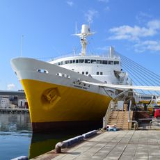
Hakkoda-maru Memorial Ship
13.4 km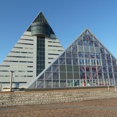
Aomori Prefecture Tourist Center
13.9 km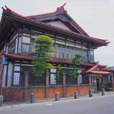
Osamu Dazai Memorial Museum
13.2 km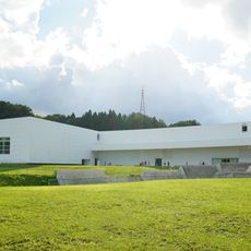
Aomori Museum of Art
10.7 km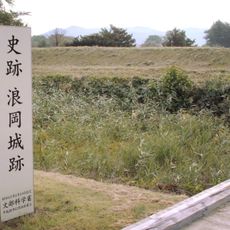
Namioka Castle
12.7 km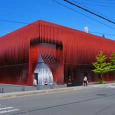
Nebuta Museum Wa Rasse
13.3 km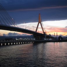
Aomori Bay Bridge
13.8 km
Aomori prefectural government
13.8 km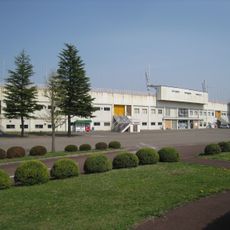
Aomori Stadium
11.3 km
Aomori City Hall
14.3 km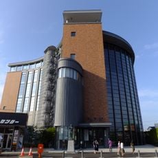
Tachineputa Museum
11.5 km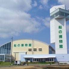
Michinoku Traditional Wooden Boat Museum
12.5 km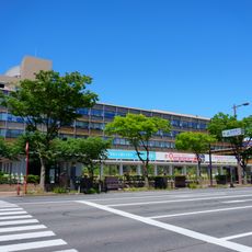
Aomori Prefectural Office
13.8 km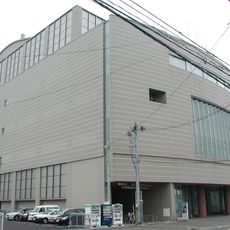
Aomori Civic Hall
13.2 km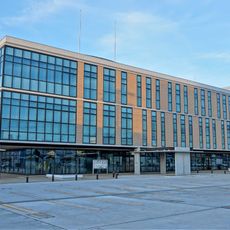
Goshogawara City Hall
11.3 km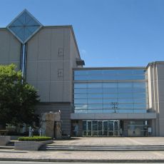
Aomori Prefectural Library
14.1 km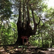
Jūnihon-yasu
10.4 km
Aomori City Forestry Museum
12.5 km
青森市民図書館
13.4 km
Aoimori Park
13.9 km
Tsugaru City Library
13.7 km
Chōen-ji
7.5 km
Yoshi Ikuzo Collection Museum
11.5 km
Midlife Tower
13.3 km
Installation ferroviaire de Sin Aburakawa
10.5 km
Yoshinoda Shintameike
11 km
Nagahashi Tameike
6.6 kmReviews
Visited this place? Tap the stars to rate it and share your experience / photos with the community! Try now! You can cancel it anytime.
Discover hidden gems everywhere you go!
From secret cafés to breathtaking viewpoints, skip the crowded tourist spots and find places that match your style. Our app makes it easy with voice search, smart filtering, route optimization, and insider tips from travelers worldwide. Download now for the complete mobile experience.

A unique approach to discovering new places❞
— Le Figaro
All the places worth exploring❞
— France Info
A tailor-made excursion in just a few clicks❞
— 20 Minutes