
Tomoe Daki, Wasserfall in Japan
Location: Mie Prefecture
Elevation above the sea: 993 m
GPS coordinates: 34.20417,136.13000
Latest update: March 30, 2025 09:33


Ōmine Okugakemichi
20.5 km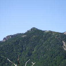
Mount Hakkyō
20.8 km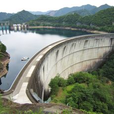
Ikehara Dam
22.6 km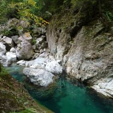
Ōsugidani
2.2 km
Ōuchiyama Zoo
23.4 km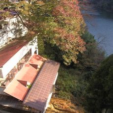
Shionoha Onsen
10.5 km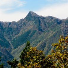
Mount Gyōjagaeri
17.1 km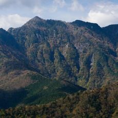
Mount Daifugen
15.6 km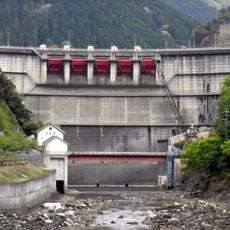
Ōsako Dam
13.3 km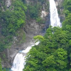
Fudō-nanae Falls
20.2 km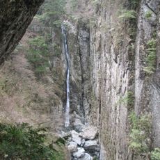
Sōmon Falls
21.9 km
Mie Prefecture Kumano Kodo Center
17.7 km
Mount Tengura
14.5 km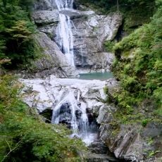
Nanatsugama Falls
2.2 km
Nagashima Castle
18.7 km
Home of Tanemaki Gonbei
12.8 km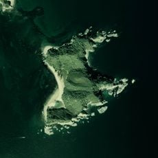
Suzu Island
16.7 km
Nakamurayama Castle
15.8 km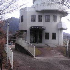
Owase Municipal Astronomical Science Museum
15.8 km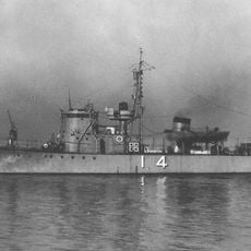
Japanese submarine chaser CH-14
17.4 km
Owase City Library
15.8 km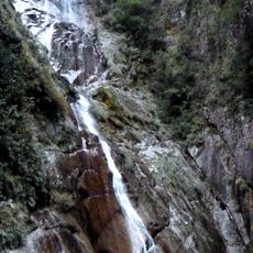
Kakure Falls
16 km
Jōsei-ji
16.1 km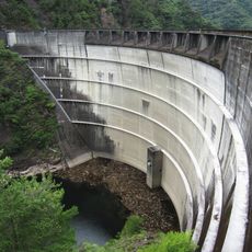
Sakamoto Dam
14.6 km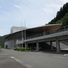
川上村立図書館
21.4 km
ホテル杉の湯
21.9 km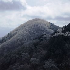
Mount Azami
18.4 km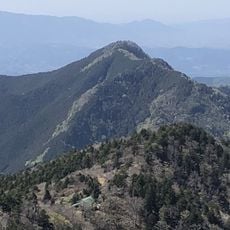
Mount Ōtenjō
21.8 kmReviews
Visited this place? Tap the stars to rate it and share your experience / photos with the community! Try now! You can cancel it anytime.
Discover hidden gems everywhere you go!
From secret cafés to breathtaking viewpoints, skip the crowded tourist spots and find places that match your style. Our app makes it easy with voice search, smart filtering, route optimization, and insider tips from travelers worldwide. Download now for the complete mobile experience.

A unique approach to discovering new places❞
— Le Figaro
All the places worth exploring❞
— France Info
A tailor-made excursion in just a few clicks❞
— 20 Minutes