
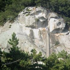
Mount Takadai, mountain in Kumano, Mie prefecture, Japan
Location: Mie Prefecture
Location: Kumano
Elevation above the sea: 937.5 m
GPS coordinates: 34.00857,136.06325
Latest update: March 11, 2025 05:39

Hananoiwaya Shrine
14.6 km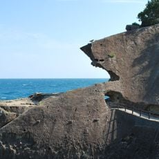
Onigajō
14.1 km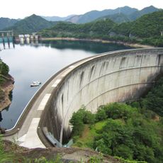
Ikehara Dam
9.5 km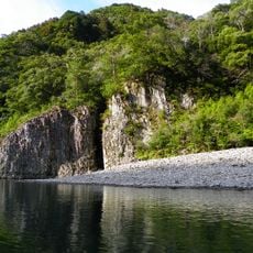
Dorokyō
19.9 km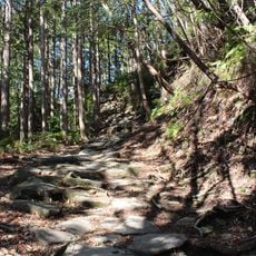
Iseji
14.6 km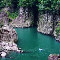
Doro-Hatchō
20.1 km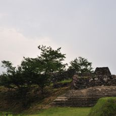
Akagi Castle
16.2 km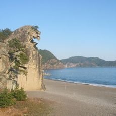
Shishi Iwa
14.2 km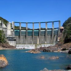
Nanairo Dam
7.8 km
Maruyama Senmaida
17.9 km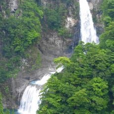
Fudō-nanae Falls
14 km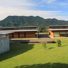
Mie Prefecture Kumano Kodo Center
15.2 km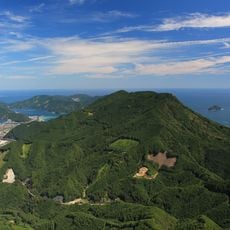
Mount Tengura
16 km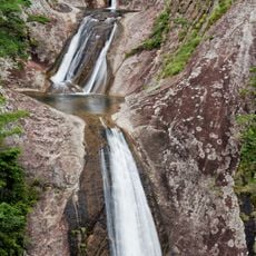
Nunobiki Falls
22.6 km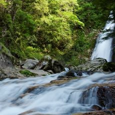
Sasa Falls
19.7 km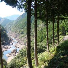
Okutoro
13.4 km
Home of Tanemaki Gonbei
16.5 km
Nakamurayama Castle
13.9 km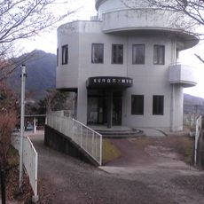
Owase Municipal Astronomical Science Museum
13.8 km
Kumano City Library
13.6 km
Japanese submarine chaser CH-14
19.1 km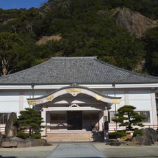
Gokuraku-ji
13.5 km
Owase City Library
13.8 km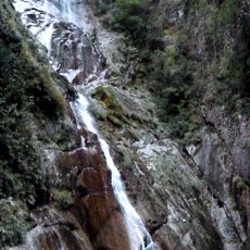
Kakure Falls
6.7 km
Jōsei-ji
14.3 km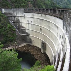
Sakamoto Dam
9.2 km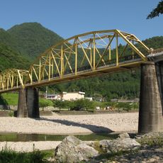
Ikehara Bridge
10.3 km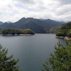
Ikehara Reservoir
9.2 kmReviews
Visited this place? Tap the stars to rate it and share your experience / photos with the community! Try now! You can cancel it anytime.
Discover hidden gems everywhere you go!
From secret cafés to breathtaking viewpoints, skip the crowded tourist spots and find places that match your style. Our app makes it easy with voice search, smart filtering, route optimization, and insider tips from travelers worldwide. Download now for the complete mobile experience.

A unique approach to discovering new places❞
— Le Figaro
All the places worth exploring❞
— France Info
A tailor-made excursion in just a few clicks❞
— 20 Minutes