
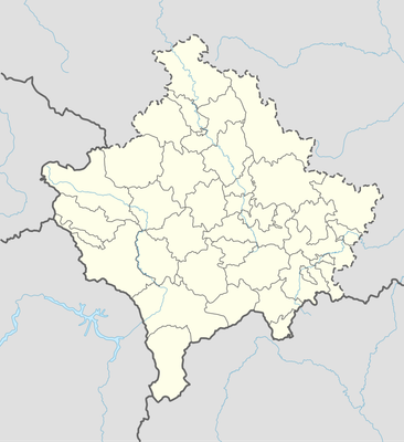
Kodra Fura, планински врв на Скопска Црна Гора
Location: Čučer-Sandevo Municipality
Elevation above the sea: 1,492 m
GPS coordinates: 42.23427,21.44054
Latest update: March 3, 2025 21:07
Gornjane Monastery
14.9 km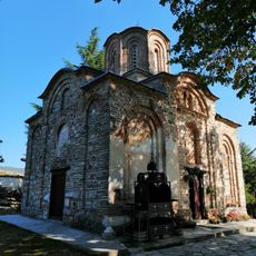
Saint Nicetas, Banjane
15 km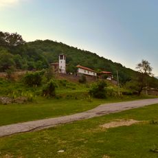
Kučevište Monastery
11.6 km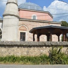
Sinan Pasha Mosque
15.1 km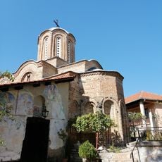
Church of the Presentation of the Theotokos
13.7 km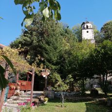
Ljubanci Monastery
14.1 km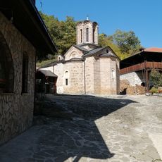
Sts. Michael and Gabriel Church
11.6 km
St. Elijah Church
12.4 km
Saint George, Banjane
14.8 km
St. Nicholas Church (Ljuboten)
15.4 km
St. Nicholas Church
14 km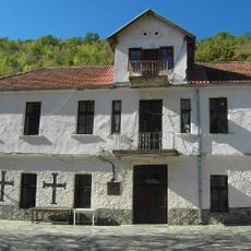
Pobožje Monastery
12.1 km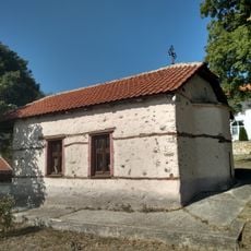
St. John Church
13.9 km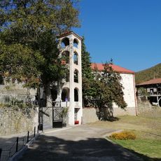
Church of the Theotokos
12.1 km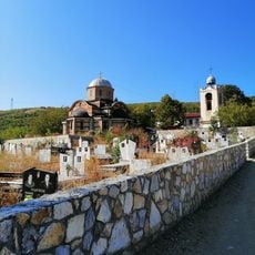
Holy Trinity Church
15.5 km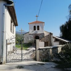
St. Petka Church
13.3 km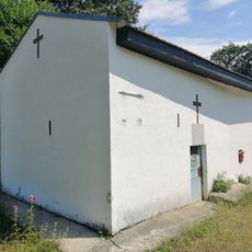
Church of the Annunciation
13.3 km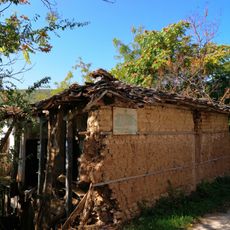
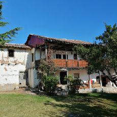
Куќа на Александар Урдаревски-Станко
15.5 km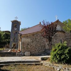
St. Nicholas Church
13.9 km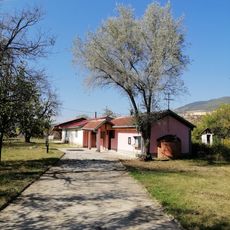
St. Mercurius Church
14.8 km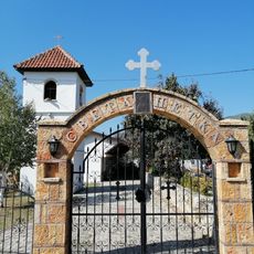
St. Petka Church
14.9 km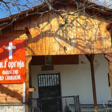
St. George's Church
12.3 km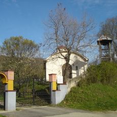
Church of the Theotokos
14.2 km
Biljak
8.8 km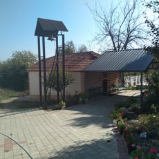
St. Demetrious Church
13.6 km
Svinjski Kamen
13.4 km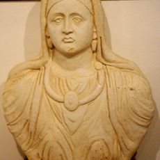
Kllokot-Vërban archaeological site
15.4 km
Prosečenik
5 kmReviews
Visited this place? Tap the stars to rate it and share your experience / photos with the community! Try now! You can cancel it anytime.
Discover hidden gems everywhere you go!
From secret cafés to breathtaking viewpoints, skip the crowded tourist spots and find places that match your style. Our app makes it easy with voice search, smart filtering, route optimization, and insider tips from travelers worldwide. Download now for the complete mobile experience.

A unique approach to discovering new places❞
— Le Figaro
All the places worth exploring❞
— France Info
A tailor-made excursion in just a few clicks❞
— 20 Minutes