
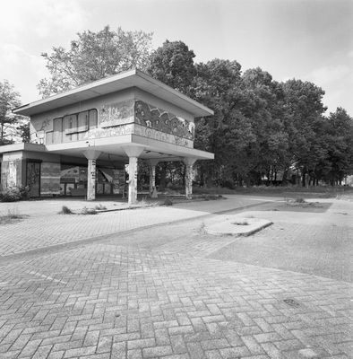
Benzinestation
Location: 's-Hertogenbosch
Address: Bosscheweg (Q8) 1
GPS coordinates: 51.67519,5.29220
Latest update: April 26, 2025 14:23
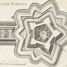
Fort Isabella
273 m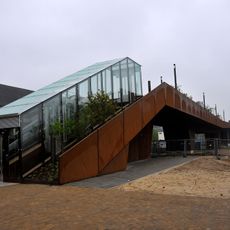
Paleisbrug
1.1 km
Bastion Vught
867 m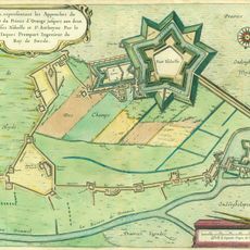
Fort Sint-Anthonie
230 m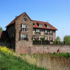
Villa Fort Sint Anthonie
230 m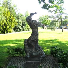
Sint-Joris en de draak
644 m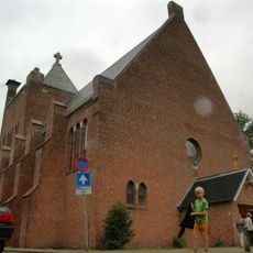
Mariakerk
1 km
Willemsbrug
972 m
Mariaplein 1, Vught
1 km
Former garagebedrijf "Pompen en Verlouw"
1 km
Complex Isabellakazerne: hoofdgebouw
129 m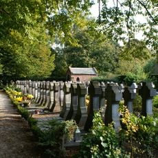
OLV Middelares Aller Genaden Roman Catholic Cemetery
1.1 km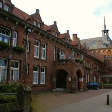
Klooster Marienhof
1.1 km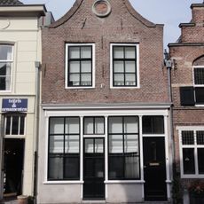
De Bijenkorf
1.1 km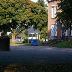
Complex Isabellakazerne: kiosk
129 m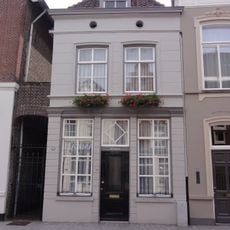
Vughterstraat 258, 's-Hertogenbosch
1.1 km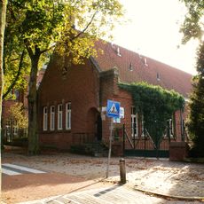
Complex Mariaplein: schoolgebouw voor de lagere school "De Molenhoek"
994 m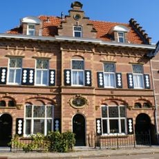
Taalstraat 14, Vught
860 m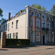
Woonhuis met stijlelementen van het Neo-Classicisme
1.1 km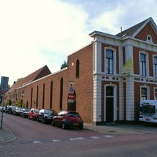
Complex Mariaplein: kosterswoning en parochiehuis
1 km
Complex Mariaplein: zevental woonhuizen
1 km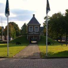
Poortgebouw fort Isabella
788 m
Vughterstraat 254, 's-Hertogenbosch
1.1 km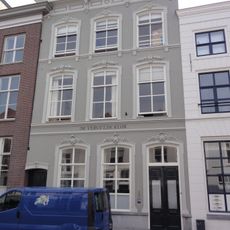
Vughterstraat 226, 's-Hertogenbosch
1.1 km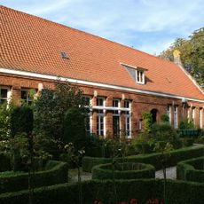
Hofje Victorialaan
997 m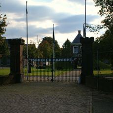
Complex Isabellakazerne: poort
129 m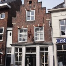
De Swarte Sleutel
1.1 km
De Drije Swarte Mollen
1.1 kmReviews
Visited this place? Tap the stars to rate it and share your experience / photos with the community! Try now! You can cancel it anytime.
Discover hidden gems everywhere you go!
From secret cafés to breathtaking viewpoints, skip the crowded tourist spots and find places that match your style. Our app makes it easy with voice search, smart filtering, route optimization, and insider tips from travelers worldwide. Download now for the complete mobile experience.

A unique approach to discovering new places❞
— Le Figaro
All the places worth exploring❞
— France Info
A tailor-made excursion in just a few clicks❞
— 20 Minutes