
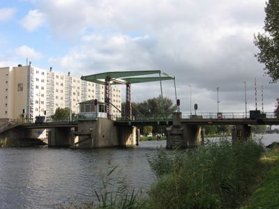
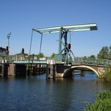
Spaansebrug, former bridge in Rotterdam
Location: Rotterdam
Inception: 1952
GPS coordinates: 51.93419,4.42175
Latest update: November 28, 2025 14:30
Hoge Brug
495 m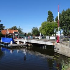
Rolbrug bij Huis te Riviere
910 m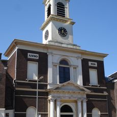
Sint-Petrus' Bandenkerk
750 m
Slot Spangen
800 m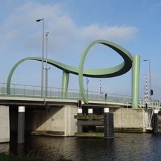
Spaansebrug
34 m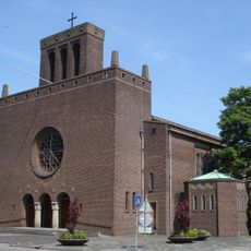
Our Lady of Perpetual Help church
457 m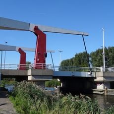
Oost-Abtsbrug
745 m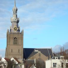
Grote Kerk Overschie
564 m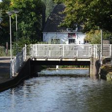
Lagebrug
718 m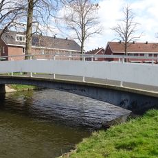
Van Noortwijcksingelbrug
749 m
Pelserthaven
251 m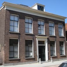
Delftweg 15, Overschie
765 m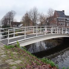
De Lugtbrug
736 m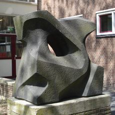
Birds
627 m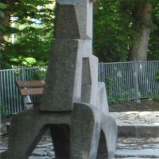
Hond
672 m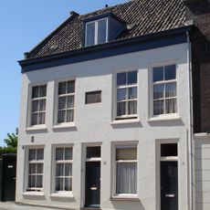
Delftweg 5, Overschie
731 m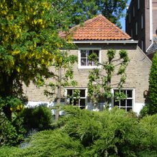
De Honderdmorgen
561 m
Bornissehaven
816 m
Gantelhaven
612 m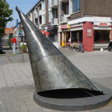
Cone (male)
490 m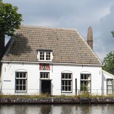
Veerhuis van Delft
714 m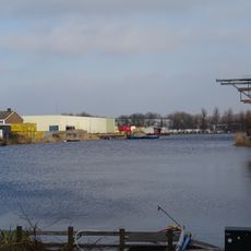
Lingehaven
422 m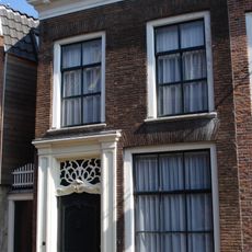
Overschiese Dorpsstraat 134, Overschie
540 m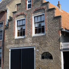
Overschiese Dorpsstraat 138, Overschie
534 m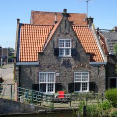
Brugwachtershuis Hoge Brug
507 m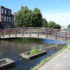
De Lugtbrug
736 m
Indië-monument (2)
580 m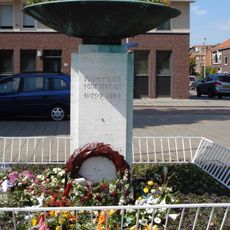
Oorlogsmonument Overschie
581 mVisited this place? Tap the stars to rate it and share your experience / photos with the community! Try now! You can cancel it anytime.
Discover hidden gems everywhere you go!
From secret cafés to breathtaking viewpoints, skip the crowded tourist spots and find places that match your style. Our app makes it easy with voice search, smart filtering, route optimization, and insider tips from travelers worldwide. Download now for the complete mobile experience.

A unique approach to discovering new places❞
— Le Figaro
All the places worth exploring❞
— France Info
A tailor-made excursion in just a few clicks❞
— 20 Minutes