
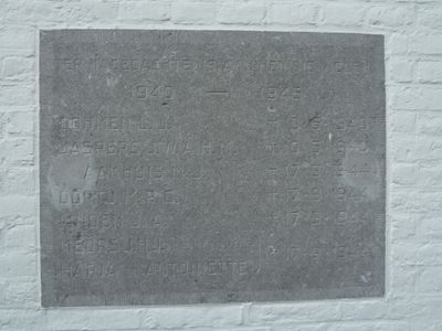
Monument in het voormalige gemeentehuis, war memorial in Klimmen, the Netherlands
Location: Voerendaal
Address: Klimmen (Voerendaal), Limburg, Nederland
GPS coordinates: 50.87717,5.88443
Latest update: March 3, 2025 14:16
Dolberg
703 m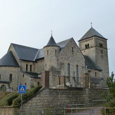
Sint-Remigiuskerk
100 m
Overhekermolen
769 m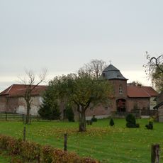
Klimmender Huuske
757 m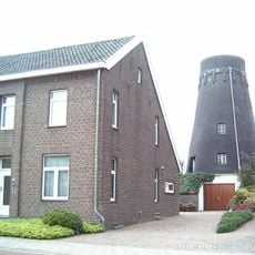
Overheek
818 m
Auvermennekesloak
719 m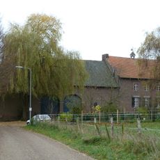
Hoeve Cardenbeek
1.1 km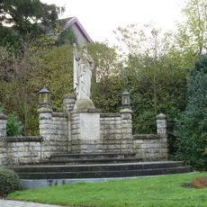
Statue of Sacred Heart of Jesus Christ
35 m
Craoteloak
806 m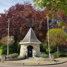
Mariakapel
718 m
Kalfhof
837 m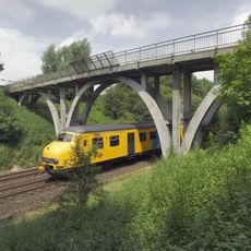
Railway bridge Penderskoolhofweg
1.2 km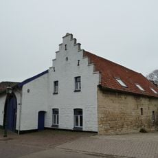
Craubekerstraat 2, Klimmen
760 m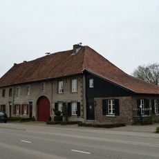
Barrier 90, Klimmen
1.1 km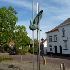
Vrijheid
54 m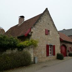
Penderskoolhofweg 3, Klimmen
726 m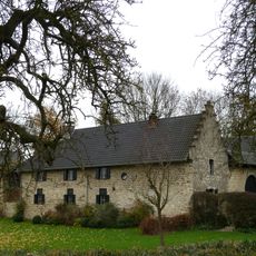
De Bokhof
825 m
Barrier 92, Klimmen
1.1 km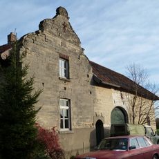
Mareheiweg 30, Ransdaal
968 m
Klimmenderstraat 104, Klimmen
459 m
Klimmenderstraat 100, Klimmen
444 m
Klimmenderstraat 2, Klimmen
170 m
Vrijthof 11, Klimmen
61 m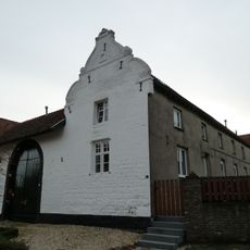
Dorpshof at Vrijthof 4, Klimmen
21 m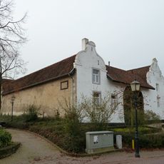
Dorpshof at Vrijthof 5, Klimmen
34 m
Schoolstraat 6, Klimmen
116 m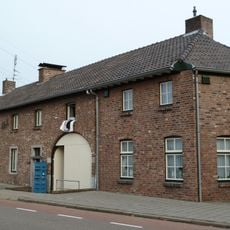
Klimmenderstraat 102, Klimmen
451 m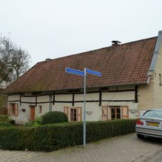
Penderskoolhofweg 1, Klimmen
727 mVisited this place? Tap the stars to rate it and share your experience / photos with the community! Try now! You can cancel it anytime.
Discover hidden gems everywhere you go!
From secret cafés to breathtaking viewpoints, skip the crowded tourist spots and find places that match your style. Our app makes it easy with voice search, smart filtering, route optimization, and insider tips from travelers worldwide. Download now for the complete mobile experience.

A unique approach to discovering new places❞
— Le Figaro
All the places worth exploring❞
— France Info
A tailor-made excursion in just a few clicks❞
— 20 Minutes