
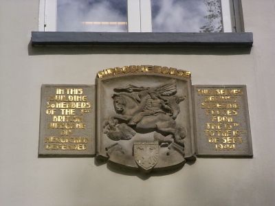
Airborne-schild, war memorial in Arnhem, the Netherlands
Location: Arnhem
Address: Utrechtseweg 72, 6812 AH, Arnhem (Arnhem), Gelderland, Nederland
GPS coordinates: 51.98521,5.89312
Latest update: March 3, 2025 02:37
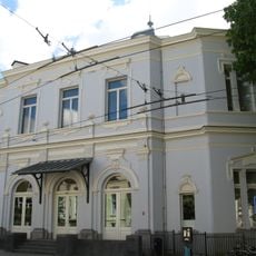
Museum Arnhem
70 m
Sint Elisabeth's Gasthuis
500 m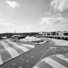
Blauwe Golven
678 m
Onderlangs
139 m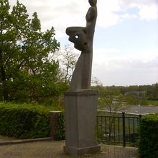
Eert de vrouw
96 m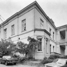
Villa Beaulieu
202 m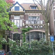
Vrijstaande stadsvilla met hek en prieel
466 m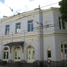
Buitensocieteit Arnhem
68 m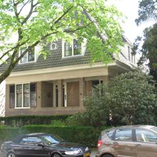
Van Lawick van Pabststraat 31, Arnhem
440 m
Kapel van het Sint Elisabethgasthuis
506 m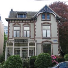
Vrijstaande stadsvilla met smeedijzeren hek
473 m
Van Lawick van Pabststraat 33, Arnhem
438 m
The Warrior
69 m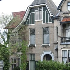
Burgemeestersplein 2, Arnhem
581 m
De Klim
617 m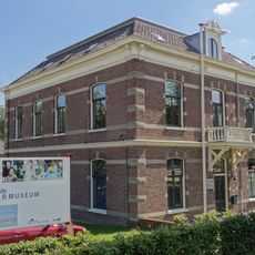
Sonsbeek: rentmeesterswoning
649 m
Zijpendaalseweg 71, Arnhem
598 m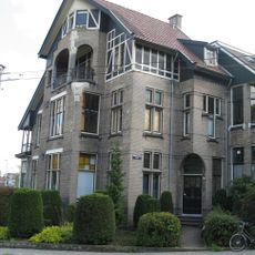
Burgemeestersplein 1, Arnhem
588 m
Montessori College Arnhem
262 m
Academie voor Beeldende Kunst
197 m
Utrechtseweg 99, Arnhem
240 m
Gedenkzuil bij het St. Elisabeths Gasthuis
491 m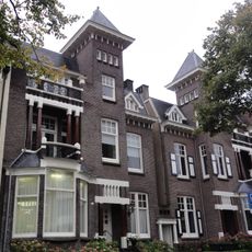
Twee herenhuizen
538 m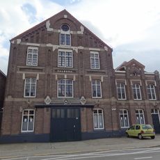
Pakhuis Valburg
324 m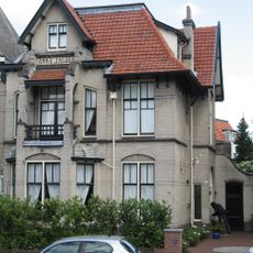
Anna Jacoba
570 m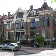
Zijpendaalseweg 87, Arnhem
637 m
Remember September 1944
654 m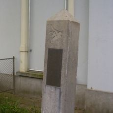
Airborne-zuil
69 mReviews
Visited this place? Tap the stars to rate it and share your experience / photos with the community! Try now! You can cancel it anytime.
Discover hidden gems everywhere you go!
From secret cafés to breathtaking viewpoints, skip the crowded tourist spots and find places that match your style. Our app makes it easy with voice search, smart filtering, route optimization, and insider tips from travelers worldwide. Download now for the complete mobile experience.

A unique approach to discovering new places❞
— Le Figaro
All the places worth exploring❞
— France Info
A tailor-made excursion in just a few clicks❞
— 20 Minutes