
Bevrijdingsmonument, war memorial in Almelo, the Netherlands
Location: Almelo
Inception: 1951
Official opening: October 10, 1951
Address: Stadhuisplein, 7607 EK, Almelo (Almelo), Overijssel, Nederland
GPS coordinates: 52.35757,6.66281
Latest update: March 2, 2025 20:07

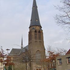
Sint Georgiusbasiliek, Almelo
303 m
Grote Kerk
261 m
Huis van Bewaring
356 m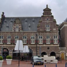
Waag
281 m
Stadhuis Almelo
245 m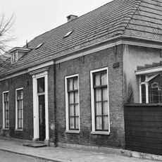
Museum Almelo
399 m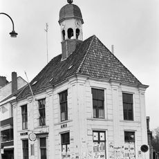
Oude Raadhuis, Almelo
223 m
Watertoren Almelo Spinnerij
342 m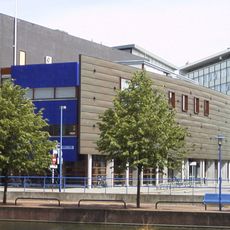
Almelo public library
83 m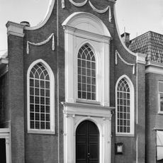
Doopsgezinde Kerk, Almelo
119 m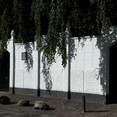
Israëlitische begraafplaats (Almelo)
235 m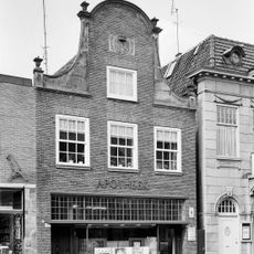
Grotestraat 67, Almelo
135 m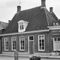
Koornmarkt 19, Almelo
300 m
Hofkeshuis
171 m
Korte Prinsenstraat 2
399 m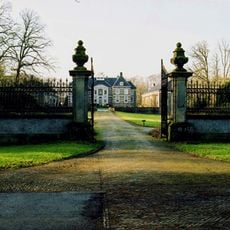
Huis Almelo gate
419 m
Huis Almelo
469 m
Voormalig herenhuis
277 m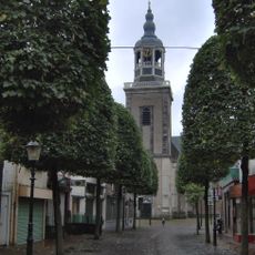
Grote Kerk, Almelo
238 m
Kerkplein 13, Almelo
252 m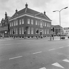
Wierdensestraat 2, Almelo
268 m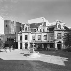
Sociteit
359 m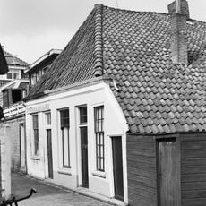
Kleine stadswoning. Gepleisterde voorgevel met lage goot. Schilddak met pannen. Achtergevel aan de Gotte met houten topgevel en vakwerk. (Genaamd wevershuisje)
219 m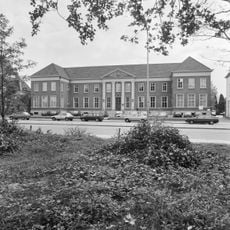
Rechtbank Almelo
285 m
Kerkplein 15, Almelo
272 m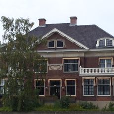
Klooster-Esch
366 m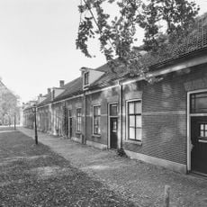
Blok van 12 woningen
295 m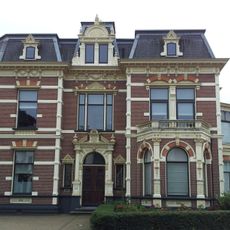
Herenhuis
416 mReviews
Visited this place? Tap the stars to rate it and share your experience / photos with the community! Try now! You can cancel it anytime.
Discover hidden gems everywhere you go!
From secret cafés to breathtaking viewpoints, skip the crowded tourist spots and find places that match your style. Our app makes it easy with voice search, smart filtering, route optimization, and insider tips from travelers worldwide. Download now for the complete mobile experience.

A unique approach to discovering new places❞
— Le Figaro
All the places worth exploring❞
— France Info
A tailor-made excursion in just a few clicks❞
— 20 Minutes