
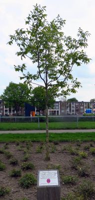
Bevrijdingsboom, war memorial in Maastricht, the Netherlands
Location: Maastricht
Inception: 1989
Official opening: September 9, 1989
Address: Old Hickoryplein, 6224 AP, Maastricht (Maastricht), Limburg, Nederland
GPS coordinates: 50.85571,5.70931
Latest update: March 10, 2025 13:58
Onze-Lieve-Vrouw-van-Lourdeskerk
450 m
Villa Wyckerveld
663 m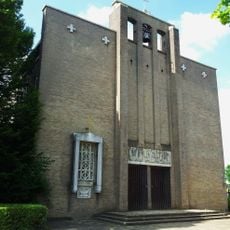
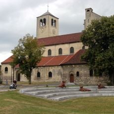
Sint-Guliëlmuskerk
503 m
Heilige Familiekerk
145 m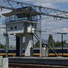
Signal box T
461 m
Schildersplein 24, Maastricht
667 m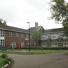
Sint-Theresiaschool
517 m
Monument op het Schildersplein
671 m
Schildersplein 20, Maastricht
639 m
Albertiplein 2, Maastricht
571 m
Antonius Bieleveltstraat 34, Maastricht
684 m
Karel de Vogelstraat 6, Maastricht
655 m
Schildersplein 8, Maastricht
640 m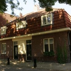
Karel de Vogelstraat 14, Maastricht
679 m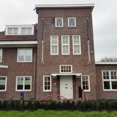
Schakelstation Staatsmijnen
560 m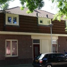
Karel de Vogelstraat 19, Maastricht
685 m
Karel de Vogelstraat 11, Maastricht
659 m
Karel de Vogelstraat 1, Maastricht
630 m
Karel de Vogelstraat 2, Maastricht
637 m
Schildersplein 10, Maastricht
631 m
Antonius Bieleveltstraat 2, Maastricht
593 m
Schildersplein 2, Maastricht
659 m
Antonius Bieleveltstraat 15, Maastricht
657 m
Antonius Bieleveltstraat 23, Maastricht
677 m
Albertiplein 24, Maastricht
606 m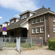
Parallelweg 99, Maastricht
536 m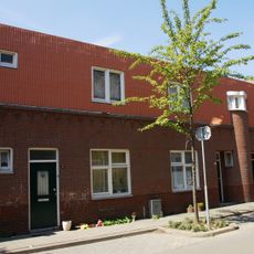
Arbeiderswoningen Tischbeinstraat
583 m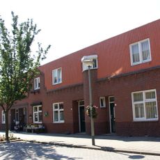
Arbeiderswoningen Van den Berghstraat
598 mReviews
Visited this place? Tap the stars to rate it and share your experience / photos with the community! Try now! You can cancel it anytime.
Discover hidden gems everywhere you go!
From secret cafés to breathtaking viewpoints, skip the crowded tourist spots and find places that match your style. Our app makes it easy with voice search, smart filtering, route optimization, and insider tips from travelers worldwide. Download now for the complete mobile experience.

A unique approach to discovering new places❞
— Le Figaro
All the places worth exploring❞
— France Info
A tailor-made excursion in just a few clicks❞
— 20 Minutes