
Nederlands Hervormde Kerk, church building in Neerijnen, Netherlands
Location: Neerijnen
Address: Kerkstraat 16 4064EB 4064EB
GPS coordinates: 51.82682,5.37326
Latest update: March 10, 2025 18:55

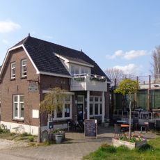
Veerhuis, Varik
292 m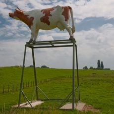
De Koe
2.5 km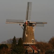
De Bol
359 m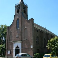
Hervormde kerk
1.8 km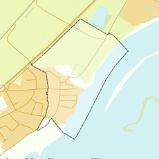
Rijksbeschermd gezicht Heerewaarden
1.8 km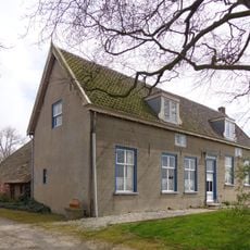
Akkersestraat 17, Ophemert
1.6 km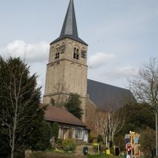
Toren van de Hervormde Kerk
2.4 km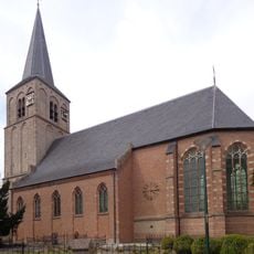
Sint Maartenkerk
2.4 km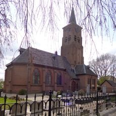
Nederlands Hervormde Kerk
2.4 km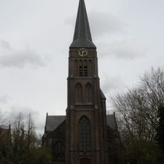
Petrus en Pauluskerk
607 m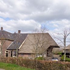
Kerklaan 16
2.3 km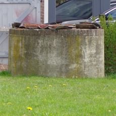
Vrijstaande ronde waterput gelegen aan de noordwestzijde van het koetshuis
2.4 km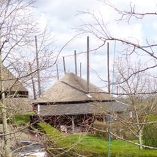
Vrijstaande schuurbergen, type hooiberg met por in het midden
2.3 km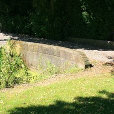
Twee gepleisterde bruggen met gemetselde borstweringen afgesloten door een rollaag
631 m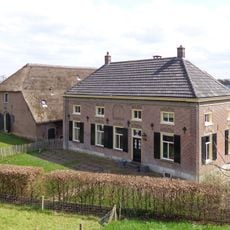
Vloedschuur
2.3 km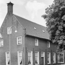
Hogestraat 13, Heerewaarden
1.8 km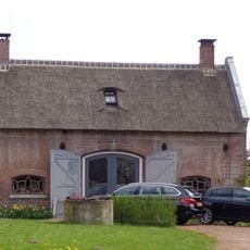
Koetshuis met schuur
2.3 km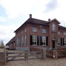
Gerestraat 47, Heesselt
2.3 km
Kasteel Ophemert: inrijhek
2.6 km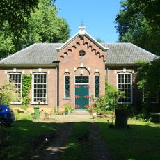
Openbare dorpsschool met hek
34 m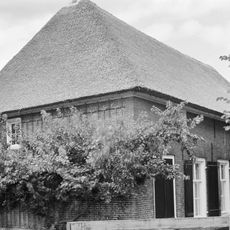
Boerderij op T-vormige plattegrond. Vensters met luiken en zesruitsschuiframen
1.7 km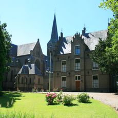
Pastorie
607 m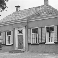
Molenstraat 22, Ophemert
2.5 km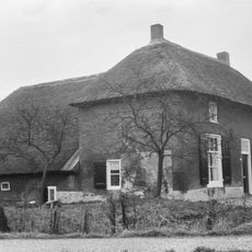
Boerderij op T-vormige plattegrond
2.5 km
De Kapelhof
2.1 km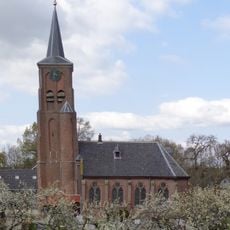
Tower Nederlands Hervormde Kerk
2.4 km
Waalbandijk 12, Varik
302 m
Parochiekerktoren
302 mReviews
Visited this place? Tap the stars to rate it and share your experience / photos with the community! Try now! You can cancel it anytime.
Discover hidden gems everywhere you go!
From secret cafés to breathtaking viewpoints, skip the crowded tourist spots and find places that match your style. Our app makes it easy with voice search, smart filtering, route optimization, and insider tips from travelers worldwide. Download now for the complete mobile experience.

A unique approach to discovering new places❞
— Le Figaro
All the places worth exploring❞
— France Info
A tailor-made excursion in just a few clicks❞
— 20 Minutes