
‘Canadese Bevrijdingsroute’, war memorial in Oostburg, the Netherlands
Location: Sluis
Address: Oostburg (Sluis), Zeeland, Nederland
GPS coordinates: 51.32691,3.48706
Latest update: March 29, 2025 16:02
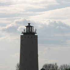
Watertoren
864 m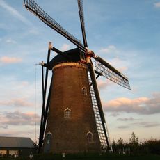
Molen van Nieuwvliet
5.6 km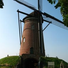
Hulsters Molen
5.1 km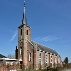
Sint-Bavokerk
5.9 km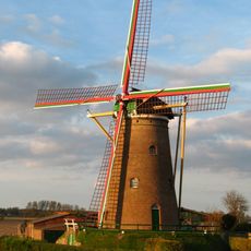
Zuidzandse molen
3.6 km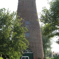
Molen Luteyn
5 km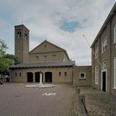
Sint-Eligiuskerk
321 m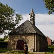
Nederlands Hervormde Kerk
4.9 km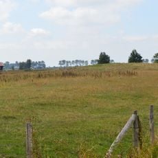
Kasteelberg Groede
4.6 km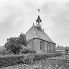
Nederlands Hervormde Kerk
5.1 km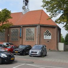
Hervormde kerk
3 km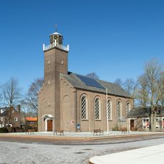
Hervormde kerk
5.7 km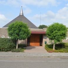
Kerk van de Gereformeerde Gemeenten
680 m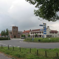
Sint-Petrus Apostelkerk
5.7 km
Eloykerk
124 m
Kerkpleinkerk
124 m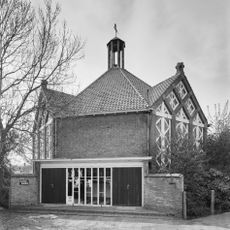
Gereformeerde kerk
5.5 km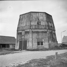
Naamloze stellingmolen
2.9 km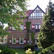
Vrijstaande villa met kantoor in overgangsarchitectuur
209 m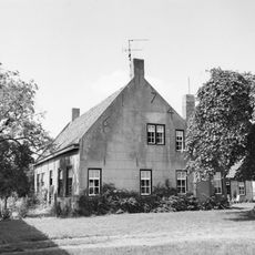
Konijnenberg, Oostburg
2.6 km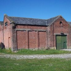
Tramremise
5.3 km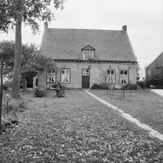
Voorstraat 60, Groede
5.8 km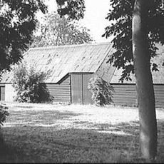
Dwarsdeelschuur
5.7 km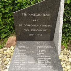
Oorlogsmonument
5.6 km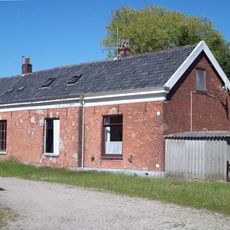
Dienstwoningen en een wachtlokaal van de Stoomtram Maatschappij Breskens-Maldeghem
5.2 km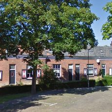
Woonblok van negen dienstwoningen voor personeel van de Stoomtram Maatschappij Breskens-Maldeghem
5.2 km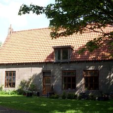
Hoeve aan oprijlaan
4.9 km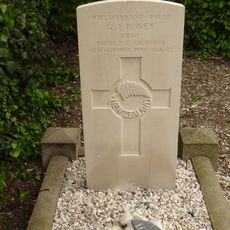
Geallieerd oorlogsgraf
5.6 kmReviews
Visited this place? Tap the stars to rate it and share your experience / photos with the community! Try now! You can cancel it anytime.
Discover hidden gems everywhere you go!
From secret cafés to breathtaking viewpoints, skip the crowded tourist spots and find places that match your style. Our app makes it easy with voice search, smart filtering, route optimization, and insider tips from travelers worldwide. Download now for the complete mobile experience.

A unique approach to discovering new places❞
— Le Figaro
All the places worth exploring❞
— France Info
A tailor-made excursion in just a few clicks❞
— 20 Minutes