
‘Canadese Bevrijdingsroute’, war memorial in Oostburg, the Netherlands
Location: Sluis
Address: Steenhovensedijk, 4501 PV, Oostburg (Sluis), Zeeland, Nederland
GPS coordinates: 51.32577,3.53461
Latest update: April 10, 2025 15:22
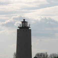
Watertoren
2.6 km
Protestantse Kerk
5.6 km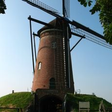
Hulsters Molen
3.1 km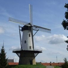
De Witte Juffer
5.6 km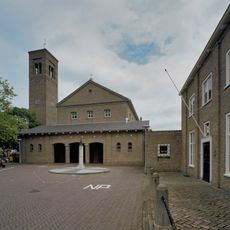
Sint-Eligiuskerk
3 km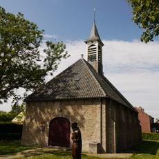
Nederlands Hervormde Kerk
1.7 km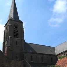
Sint-Margaretakerk
4.9 km
Kasteelberg Groede
4.9 km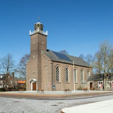
Hervormde kerk
3.6 km
Kerk van de Gereformeerde Gemeenten
2.6 km
Sint-Petrus Apostelkerk
3.5 km
Eloykerk
3.2 km
Kerkpleinkerk
3.2 km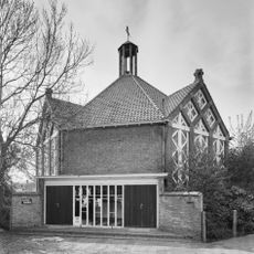
Gereformeerde kerk
3.4 km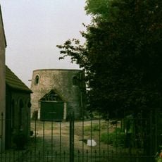
Baeyensmolen
5.4 km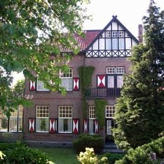
Vrijstaande villa met kantoor in overgangsarchitectuur
3.3 km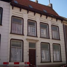
Landpoortstraat 3, IJzendijke
5.7 km
Minnepoortstraat 6, IJzendijke
5.7 km
The building on the corner of Landpoortstraat has a beautiful stepped gable on the market side
5.7 km
Markt 4, IJzendijke
5.7 km
Markt 3, IJzendijke
5.7 km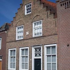
Landpoortstraat 12, IJzendijke
5.6 km
Markt 26, IJzendijke
5.7 km
Bakstenen muur van wisselende hoogte om kerkhof
5.6 km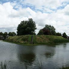
Verdedigingswerken
5.4 km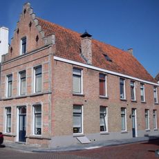
Markt 27, IJzendijke
5.7 km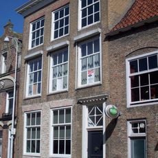
Landpoortstraat 4, IJzendijke
5.7 km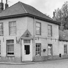
Kerkstraat 6, IJzendijke
5.6 kmReviews
Visited this place? Tap the stars to rate it and share your experience / photos with the community! Try now! You can cancel it anytime.
Discover hidden gems everywhere you go!
From secret cafés to breathtaking viewpoints, skip the crowded tourist spots and find places that match your style. Our app makes it easy with voice search, smart filtering, route optimization, and insider tips from travelers worldwide. Download now for the complete mobile experience.

A unique approach to discovering new places❞
— Le Figaro
All the places worth exploring❞
— France Info
A tailor-made excursion in just a few clicks❞
— 20 Minutes