
Chhyārkuṅ Chuli̇̄, Berggipfel in Nepal
Location: Nepal
Elevation above the sea: 4,557 m
GPS coordinates: 28.06028,85.41000
Latest update: March 6, 2025 19:06
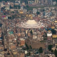
Boudhanath
38 km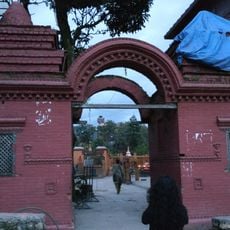
Budhanilkantha Temple
31.8 km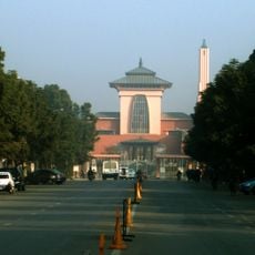
Narayanhiti Palace
39.4 km
Guhyeshwari Temple
39.3 km
Langtang National Park
18.9 km
Changu Narayan Temple
42.9 km
The Taragaon Museum
38.2 km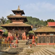
Gokarneshwor Mahadev temple
35.8 km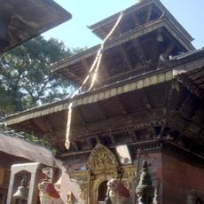
Bajrayogini Temple
35.6 km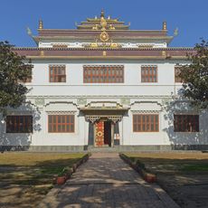
Ka-Nying Shedrub Ling
37.7 km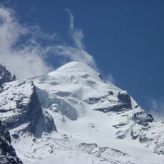
Baden-Powell Peak
17 km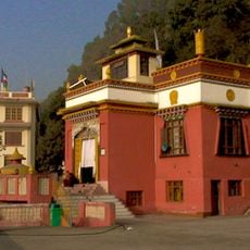
Triten Norbutse
1070.6 km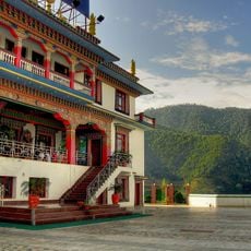
Amitabha Monastery
35.4 km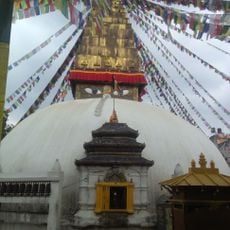
Charumati Stupa
38.9 km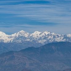
Suryachaur
28.1 km
Nuwakot Palace
29.1 km
Dragmarpo Ri
38.5 km
Bhairabi Temple
29.3 km
Kimshung
27.4 km
Langshisa Ri
34.7 km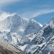
Gangchempo
29 km
Lapsang Karpo
38.7 km
Shivapuri Nagarjun National Park
29.6 km
Panch Pokhari
30.1 km
Kopan Monastery
35.7 km
Rasuwa Fort
24.4 km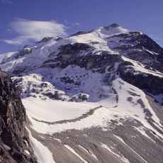
Yala Peak
29 km
Kyuṅgāri̇̄
36.5 kmReviews
Visited this place? Tap the stars to rate it and share your experience / photos with the community! Try now! You can cancel it anytime.
Discover hidden gems everywhere you go!
From secret cafés to breathtaking viewpoints, skip the crowded tourist spots and find places that match your style. Our app makes it easy with voice search, smart filtering, route optimization, and insider tips from travelers worldwide. Download now for the complete mobile experience.

A unique approach to discovering new places❞
— Le Figaro
All the places worth exploring❞
— France Info
A tailor-made excursion in just a few clicks❞
— 20 Minutes