
Stony Batter, Hill on Waiheke Island, New Zealand
Location: Auckland Region
Elevation above the sea: 220 m
GPS coordinates: -36.76634,175.16823
Latest update: April 27, 2025 23:55

Musick Point / Te Naupata
25.4 km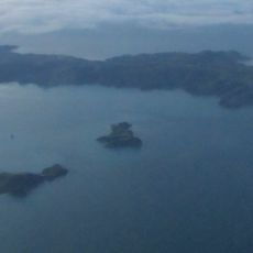
Pakatoa Island
4.1 km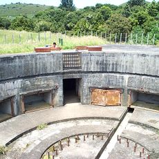
Stony Batter
601 m
Duder Regional Park
17.3 km
Waitawa Regional Park
19 km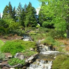
Ayrlies Garden
24.3 km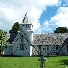
All Saints Church, Howick
25.3 km
Ōmana Regional Park
18 km
Whakanewha Regional Park
10.2 km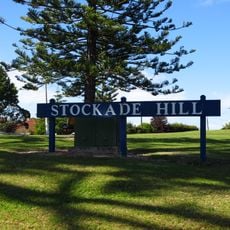
Stockade Hill, Howick
25.6 km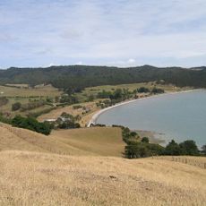
Umupuia Beach
17.7 km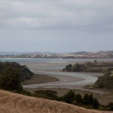
Mangemangeroa Creek
26.4 km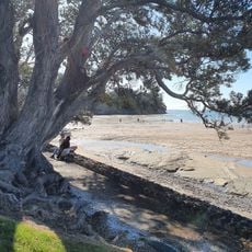
Waipaparoa / Howick Beach
24.5 km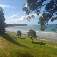
Tāpapakanga Regional Park
25 km
Orere Point Regional Park
21.8 km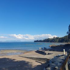
Ōrere Point Beach
22.4 km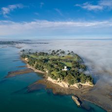
Te Naupata
25.2 km
Prospect Hill
25.7 km
Ohinerangi Beach
16.6 km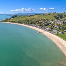
Maraetai Beach
16.9 km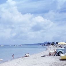
Bucklands Beach
26.2 km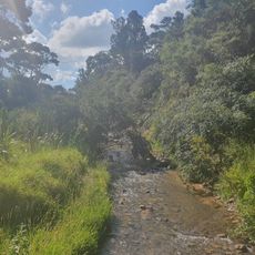
Tapapakanga Stream
26.3 km
Shamrock Cottage
24.9 km
Brickell Homestead
26.5 km
Bucklands Cottage
26 km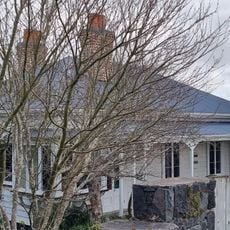
Kelsey Homestead
25.8 km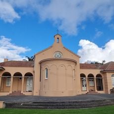
Star of the Sea Convent Block
24.7 km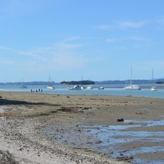
Shelly Park Beach
25 kmReviews
Visited this place? Tap the stars to rate it and share your experience / photos with the community! Try now! You can cancel it anytime.
Discover hidden gems everywhere you go!
From secret cafés to breathtaking viewpoints, skip the crowded tourist spots and find places that match your style. Our app makes it easy with voice search, smart filtering, route optimization, and insider tips from travelers worldwide. Download now for the complete mobile experience.

A unique approach to discovering new places❞
— Le Figaro
All the places worth exploring❞
— France Info
A tailor-made excursion in just a few clicks❞
— 20 Minutes