
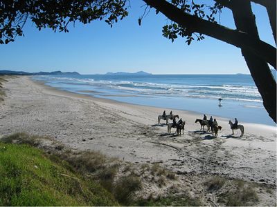
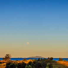
Te Ārai Regional Park, regional park in New Zealand
Location: Rodney
Operator: Auckland Council
Website: https://aucklandcouncil.govt.nz/parks-recreation/Pages/park-details.aspx?Location=230
GPS coordinates: -36.15968,174.64616
Latest update: May 10, 2025 06:37
Uretiti Beach
27.7 km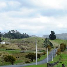
Warkworth Radio Observatory
30.4 km
Cape Rodney-Okakari Point Marine Reserve
17.3 km
Sculptureum
22.1 km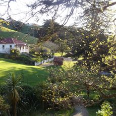
Scandrett Regional Park
33.6 km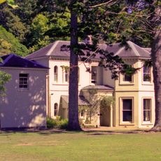
Mansion House
33.9 km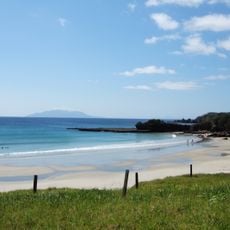
Tāwharanui Regional Park
29.9 km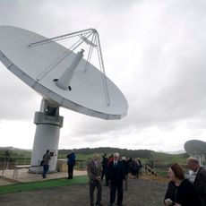
Warkworth 12m Radio Telescope
30.5 km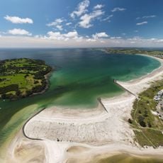
Ōmaha Beach
23.2 km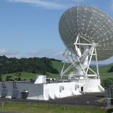
Warkworth 30m Radio Telescope
30.5 km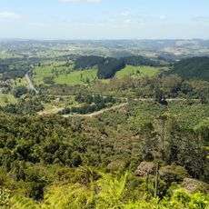
Dome Forest
22 km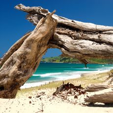
Pakiri Beach
12 km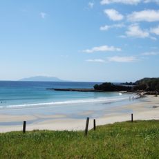
Tāwharanui Marine Reserve
28.4 km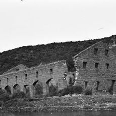
Smelting House ruins
33.7 km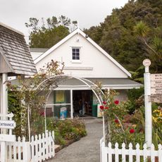
Warkworth & District Museum
28.6 km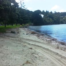
Baddeleys Beach
26.7 km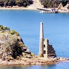
Pumphouse ruins
35.2 km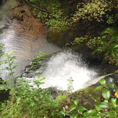
Pohuehue Falls
33 km
Te Hāwere-a-Maki / Goat Island Scientific Reserve
18 km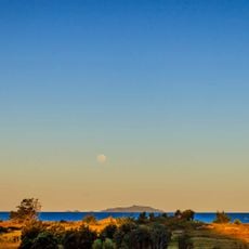
Hen & Chicken Islands Nature Reserve
30.2 km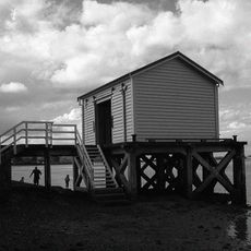
Big Omaha Wharf
20 km![St Andrew's Church [Relocated]](https://img9.digsty.com/1R4tWqofCrSUsUMtrDCpbUNB8rk7x5luFVE7YXSahvw/rs:fill:230:230:1/g:fp:0.5:0.5/czM6Ly9hcm91bmR1cy8xNC80NzE2NTE1LTI5YTY4ZmJiLmpwZw.jpg)
St Andrew's Church [Relocated]
21.8 km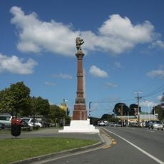
Nova Scotian Settlers Memorial
26.7 km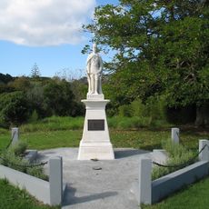
First World War Memorial
22.5 km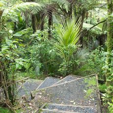
Pohuehue Scenic Reserve
32.7 km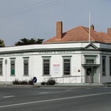
National Bank
26.4 km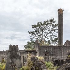
Wilson's Hydraulic Lime and Cement Works Ruins
27.9 km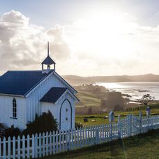
Minniesdale Chapel
28 kmReviews
Visited this place? Tap the stars to rate it and share your experience / photos with the community! Try now! You can cancel it anytime.
Discover hidden gems everywhere you go!
From secret cafés to breathtaking viewpoints, skip the crowded tourist spots and find places that match your style. Our app makes it easy with voice search, smart filtering, route optimization, and insider tips from travelers worldwide. Download now for the complete mobile experience.

A unique approach to discovering new places❞
— Le Figaro
All the places worth exploring❞
— France Info
A tailor-made excursion in just a few clicks❞
— 20 Minutes