
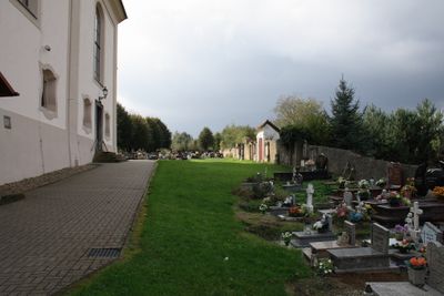
Cmentarz w Działoszyniu, cemetery in Działoszyn, Lower Silesian Voivodeship, Poland
Location: Działoszyn, Lower Silesian Voivodeship
Inception: 18 century
GPS coordinates: 50.97929,14.94903
Latest update: March 7, 2025 17:56
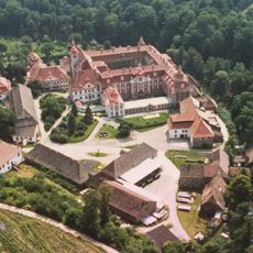
St. Marienthal Abbey
2.7 km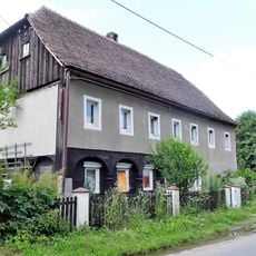
Działoszyn 34
120 m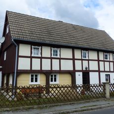
Klosterstraße 84
2.9 km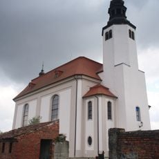
Church Działoszyn
33 m
Klosterstraße 56
3.2 km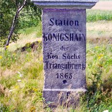
Station 37 Königshain
1.4 km
Klosterstraße 132
2.7 km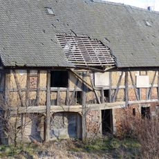
Działoszyn 7
586 m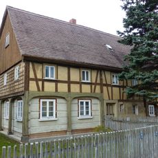
Klosterstraße 58
3.1 km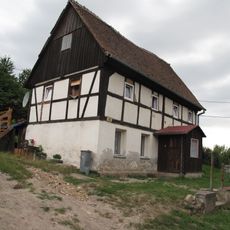
Posada 35
1.9 km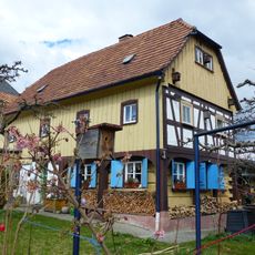
Franz-Gareis-Weg 1
2.7 km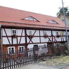
Działoszyn 163
146 m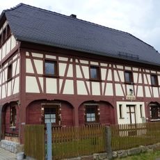
Neißeweg 16
2.6 km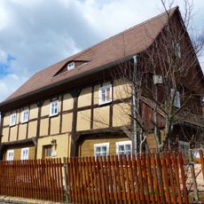
Klosterstraße 134
2.7 km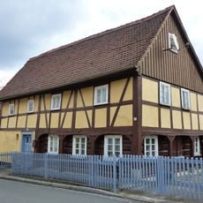
Klosterstraße 55
3 km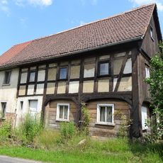
Działoszyn 219
484 m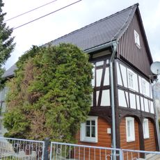
Franz-Gareis-Weg 3
2.7 km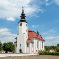
Saint Bartholomew church in Działoszyn
0 m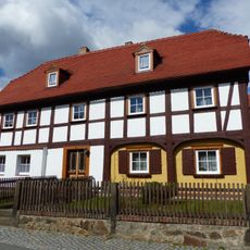
Klosterstraße 130
2.7 km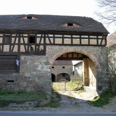
Działoszyn 17
456 m
Działoszyn 30
80 m
Działoszyn 168
136 m
Posada 39
1.9 km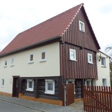
Klosterstraße 63
2.9 km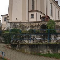
Boundary cemetery Działoszyn
0 m
Klosterstraße 68
3 km
Bratków 82
2.3 km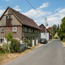
Działoszyn 45
265 mVisited this place? Tap the stars to rate it and share your experience / photos with the community! Try now! You can cancel it anytime.
Discover hidden gems everywhere you go!
From secret cafés to breathtaking viewpoints, skip the crowded tourist spots and find places that match your style. Our app makes it easy with voice search, smart filtering, route optimization, and insider tips from travelers worldwide. Download now for the complete mobile experience.

A unique approach to discovering new places❞
— Le Figaro
All the places worth exploring❞
— France Info
A tailor-made excursion in just a few clicks❞
— 20 Minutes