
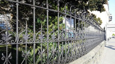
Ogrodzenie zespołu szkół medycznych w Prudniku, boundary
Location: Prudnik
Inception: 1873
Part of: 26 Piastowska Street in Prudnik
Address: Piastowska 26, 48-200 Prudnik
GPS coordinates: 50.32286,17.57471
Latest update: March 10, 2025 16:53

Wok's Tower
262 m
Prudnik Castle
262 m
Fränkel's villa in Prudnik
282 m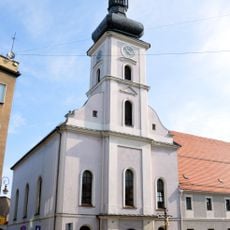
Saints Peter and Paul Church in Prudnik
166 m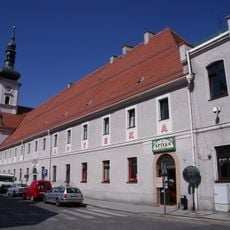
Klasztor ul. Piastowska 8 w Prudniku
195 m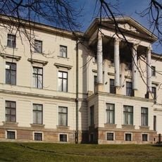
2 Nyska Street in Prudnik
81 m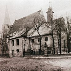
Capuchin monastery in Prudnik
301 m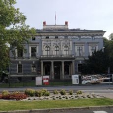
Prudnik Cultural Centre
282 m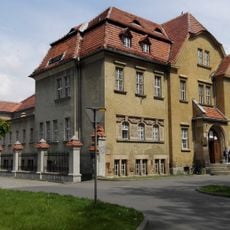
Public bath in Prudnik
298 m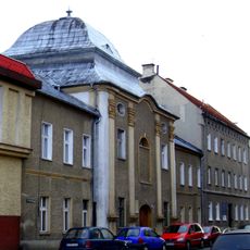
65 Piastowska Street in Prudnik
259 m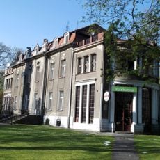
2 Parkowa Street in Prudnik
351 m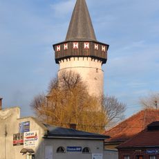
Wok's Tower
254 m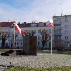
Pomnik Żołnierzy walczących o wolną Polskę
120 m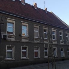
3 Jagiellońska Street in Prudnik
315 m
10 Zamkowa Street in Prudnik
335 m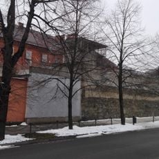
Prison in Prudnik
244 m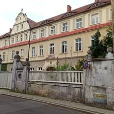
6 Piastowska Street in Prudnik
249 m
21 Jagiellońska Street in Prudnik
333 m
1 Górna Street in Prudnik
305 m
4 Górna Street in Prudnik
294 m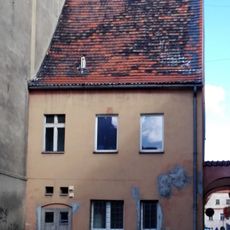
9 Piastowska Street in Prudnik
323 m
22 Piastowska Street in Prudnik
57 m
6 Parkowa Street in Prudnik the former officers' mess; nowadays Social Service Centre
306 m
6 Zamkowa Street in Prudnik
350 m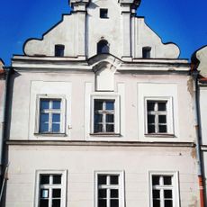
8 Zamkowa Street in Prudnik
344 m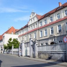
Zespół klasztorny bonifratrów w Prudniku
198 m
2 Kołłątaja Street in Prudnik
169 m
40 Bolesława Chrobrego Street in Prudnik
293 mVisited this place? Tap the stars to rate it and share your experience / photos with the community! Try now! You can cancel it anytime.
Discover hidden gems everywhere you go!
From secret cafés to breathtaking viewpoints, skip the crowded tourist spots and find places that match your style. Our app makes it easy with voice search, smart filtering, route optimization, and insider tips from travelers worldwide. Download now for the complete mobile experience.

A unique approach to discovering new places❞
— Le Figaro
All the places worth exploring❞
— France Info
A tailor-made excursion in just a few clicks❞
— 20 Minutes