
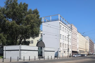
10 Stawki Street in Warsaw, zespół budynków w Warszawie
Location: Śródmieście
Inception: 1930s
Part of: Umschlagplatz in Warsaw ghetto
GPS coordinates: 52.25263,20.98955
Latest update: October 1, 2025 21:00

Umschlagplatz in Warsaw ghetto
48 m
Museum of the History of Polish Jews
428 m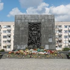
Monument aux héros du ghetto
452 m
Miła 18
228 m
Intraco I
526 m
Maszt Wolności
556 m
Babka Tower
392 m
Umschlagplatz monument
57 m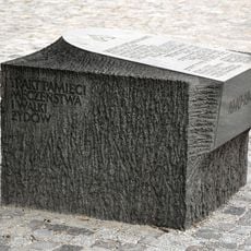
Memorial Route of Jewish Martyrdom and Struggle in Warsaw
545 m
Żegota Monument in Warsaw
469 m
Ławeczka Jana Karskiego w Warszawie
490 m
Gdański Business Center
573 m
Szmul Zygielbojm Monument in Warsaw, Poland
309 m
Willy Brandt Square in Warsaw
373 m
Willy Brandt Monument in Warsaw
369 m
5-7 Stawki Street in Warsaw
61 m
35 Andersa Street in Warsaw
522 m
Pomnik Mordechaja Anielewicza, tzw. Kopiec Anielewicza
228 m
37 Andersa Street in Warsaw
492 m
6 Lewartowskiego Street in Warsaw
318 m
Szkoła stanowiąca część d. Umschlagplatzu (budynek I), pocz. l. 30. XX w.
29 m
Skwer Rodziny Kuczerów
473 m
Cinema City Arkadia
590 m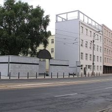
Szkoła stanowiąca część d. Umschlagplatzu (budynek II)
20 m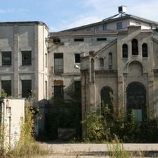
Hala produkcyjna garbarni Temler i Szwede
516 m
Biurowiec przy alei Jana Pawła II 61
580 m
M2 (apartamentowiec)
488 m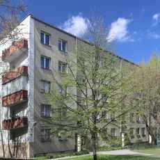
11 Niska Street in Warsaw
260 mReviews
Visited this place? Tap the stars to rate it and share your experience / photos with the community! Try now! You can cancel it anytime.
Discover hidden gems everywhere you go!
From secret cafés to breathtaking viewpoints, skip the crowded tourist spots and find places that match your style. Our app makes it easy with voice search, smart filtering, route optimization, and insider tips from travelers worldwide. Download now for the complete mobile experience.

A unique approach to discovering new places❞
— Le Figaro
All the places worth exploring❞
— France Info
A tailor-made excursion in just a few clicks❞
— 20 Minutes