
Марійське сільське поселення
Марійське сільське поселення, human settlement in Mari-Tureksky District, Mari El Republic, Russia
Location: Mari-Tureksky District
Capital city: Mariyets
GPS coordinates: 56.51861,49.82667
Latest update: March 3, 2025 01:21
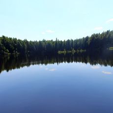
Shaytan
68 km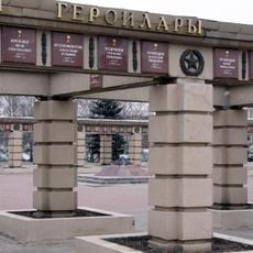
Park Pobedy
88.7 km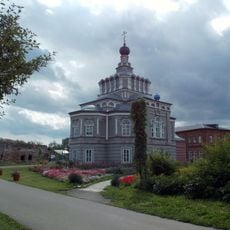
Җидекүл бушлыгы
77.3 km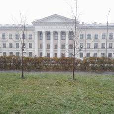
Palace of Culture named after Sahib-Garey Said-Galiev
81.1 km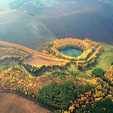
Kara-Kul Lake
27.1 km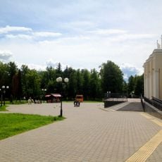
«Kryl'ya Sovetov» park
87 km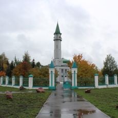
Bolğar Mosque, Qazan
87.8 km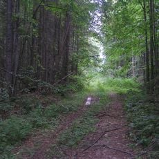
Les Bushkovskiy
67.6 km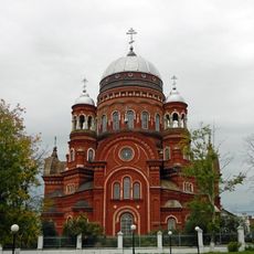
Holy Trinity Orthodox Cathedral in Urzhum
66.7 km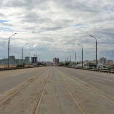
3-rd Transport bridge over Kazanka
87.6 km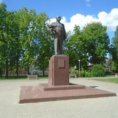
Пам'ятник Андрію Туполеву (Казань)
88.8 km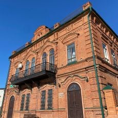
Kukmor local museum
75.2 km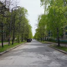
October Street
88.2 km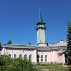
İslam Mosque
81.8 km
Nikol'skiy
73.6 km
Ильинский (Морке районы)
72.3 km
Andreyevsky
31.8 km
Луначарский (Кирован область)
70.9 km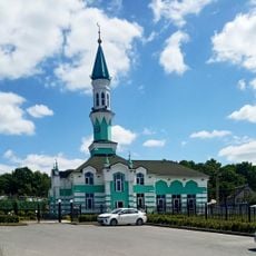
Qotdus Mosque
85.2 km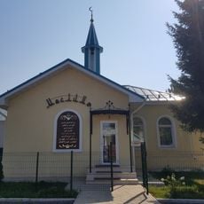
Möslimä Mosque
84.8 km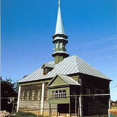
Äsän-Yılğa Mosque
82.1 km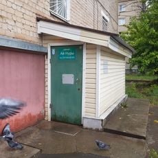
Ay Nurı Mosque
88.4 km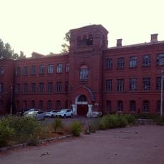
Church-Teachers School, Kazan
88.9 km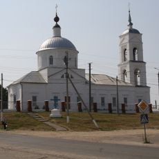
Epiphany church in Morki
51.8 km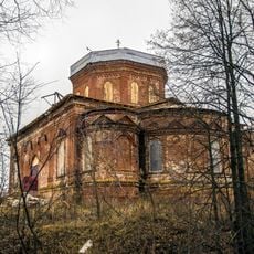
Holy Trinity church, Ilet'
21 km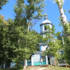
Saint Gurias Church, Petyal
84.7 km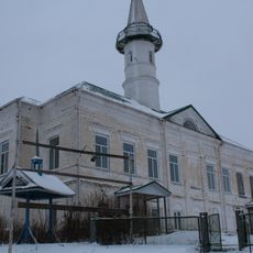
Соборная мечеть (Алашайка)
35.3 km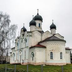
Церковь Покрова Божией Матери (Марисола)
73.3 kmReviews
Visited this place? Tap the stars to rate it and share your experience / photos with the community! Try now! You can cancel it anytime.
Discover hidden gems everywhere you go!
From secret cafés to breathtaking viewpoints, skip the crowded tourist spots and find places that match your style. Our app makes it easy with voice search, smart filtering, route optimization, and insider tips from travelers worldwide. Download now for the complete mobile experience.

A unique approach to discovering new places❞
— Le Figaro
All the places worth exploring❞
— France Info
A tailor-made excursion in just a few clicks❞
— 20 Minutes