
Сырский сельсовет, human settlement in Lipetsky District, Lipetsk Oblast, Russia
Location: Lipetsky District
Capital city: Podgornoe
GPS coordinates: 52.56310,39.53078
Latest update: March 11, 2025 06:07
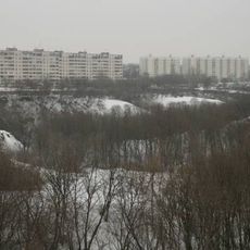
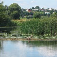
The lower reaches of Kamenny Log
5.9 km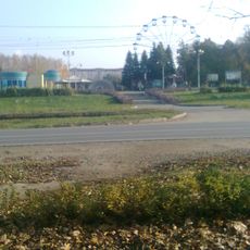
Парк Победы (Липецк)
3.6 km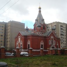
Saint Nicholas Church
5.5 km
Transfiguration church
5.3 km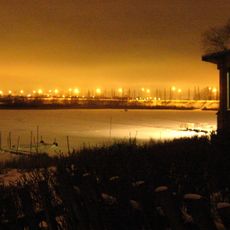
Октябрьский мост (Липецк)
1.5 km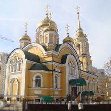
All Saints church
3.3 km
Молодёжный парк (Липецк)
3.3 km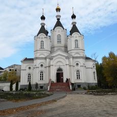
Church of Saint Michael
3.4 km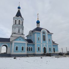
Church of the Protection of the Theotokos
9.1 km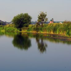
Церковь Пресвятой Троицы (Троицкое)
6.7 km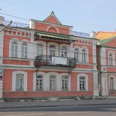
Frunze Street 10, Lipetsk
6.1 km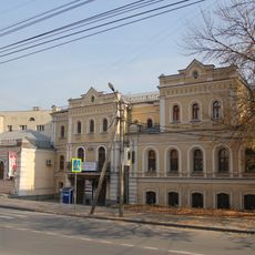
Усадебный дом (Липецк)
6 km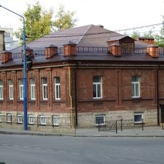
Kommunalnaya Square 5, Lipetsk
6 km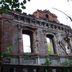
Oktyabrskaya Street 88, Lipetsk
5.5 km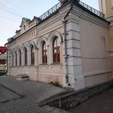
Frunze Street 21 & 21a, Lipetsk
6 km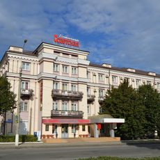
Sovetskaya Hotel, Lipetsk
6.1 km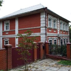
Oktyabrskaya Street 90, Lipetsk
5.5 km
Kommunalnaya Square 41 - Dom Svyazi
5.8 km
Frunze Street 11, Lipetsk
6 km
Kommunalnaya Square 8 - bank building
5.9 km
Kommunalnaya Square 4, Lipetsk
6 km
Pervomayskaya Street 32, Lipetsk
6 km
Gorky Street, 2 (Lipetsk)
5.5 km
Sovetskaya Street, 22 (Lipetsk)
6 km
Karstens Pharmacy, Lipetsk
6 km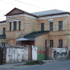
Oktyabrskaya Street 57, Lipetsk
6.1 km
Pervomayskaya Street 30a, Lipetsk
6 km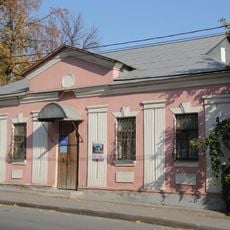
Gorky Street, 4 (Lipetsk)
5.6 kmReviews
Visited this place? Tap the stars to rate it and share your experience / photos with the community! Try now! You can cancel it anytime.
Discover hidden gems everywhere you go!
From secret cafés to breathtaking viewpoints, skip the crowded tourist spots and find places that match your style. Our app makes it easy with voice search, smart filtering, route optimization, and insider tips from travelers worldwide. Download now for the complete mobile experience.

A unique approach to discovering new places❞
— Le Figaro
All the places worth exploring❞
— France Info
A tailor-made excursion in just a few clicks❞
— 20 Minutes