
Khlyutsky selsoviet, human settlement in Rutulsky District, Republic of Dagestan, Russia
Location: Rutulsky District
Capital city: Khlyut
GPS coordinates: 41.50000,47.53333
Latest update: May 13, 2025 14:01
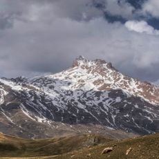
Szalbuzdag
29.4 km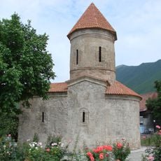
Church of Kish
39.9 km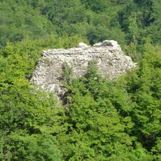
Galarsan-Gorarsan
36.6 km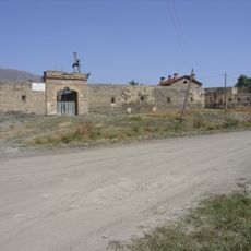
Akhty Fortress
17.7 km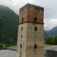
Sumug-gala
40.2 km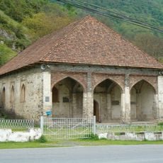
Ulu mosque, İlisu
39.4 km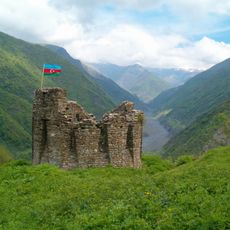
Shamil Qala
37.5 km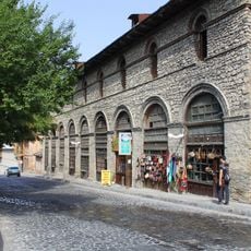
Yukhari Bash State Historical-Architectural Reserve
43.2 km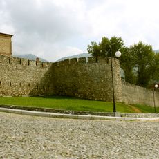
Shaki Fortress
43.3 km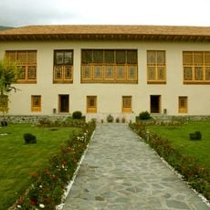
House of Shakikhanovs
43.2 km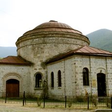
Round temple in Shaki
43.4 km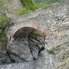
Ulu körpü
42.8 km
House-museum of Mirza Fatali Akhundov
43.3 km
Jinli Qala
41.7 km
Underground Bath (Sheki)
43.5 km
Icheri Bazar
39.7 km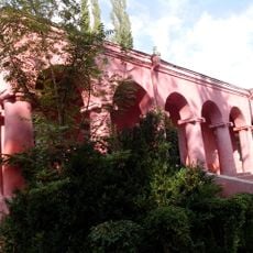
Shaki Museum of History and Local Lore
43.4 km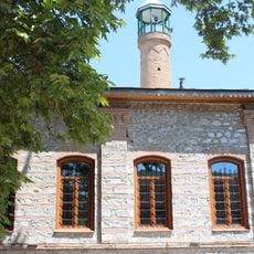
Imam Ali masjidi, Sheki
43.7 km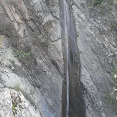
Shahali Waterfall
39.4 km
Zedzgiti Church
43.3 km
Friday Mosque of Akhty
17.1 km
Мост (Фий)
22.9 km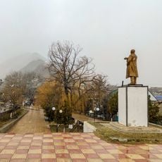
Памятник В.И. Ленину (Ахты)
17.4 km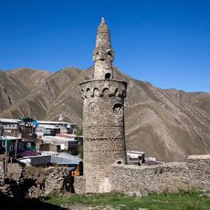
Джума-мечеть с минаретом (Рича)
29.4 km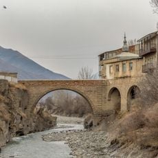
Idris bridge
17.1 km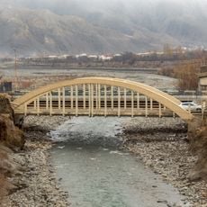
Dzhiors and Debernardi bridge
17.2 km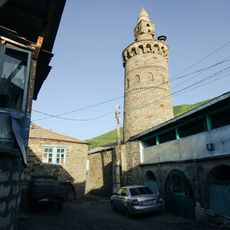
Джума-мечеть с минаретом (Тпиг)
31.6 km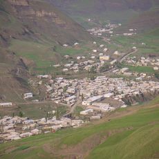
Селение Тпиг (Тпиг)
31.6 kmReviews
Visited this place? Tap the stars to rate it and share your experience / photos with the community! Try now! You can cancel it anytime.
Discover hidden gems everywhere you go!
From secret cafés to breathtaking viewpoints, skip the crowded tourist spots and find places that match your style. Our app makes it easy with voice search, smart filtering, route optimization, and insider tips from travelers worldwide. Download now for the complete mobile experience.

A unique approach to discovering new places❞
— Le Figaro
All the places worth exploring❞
— France Info
A tailor-made excursion in just a few clicks❞
— 20 Minutes