
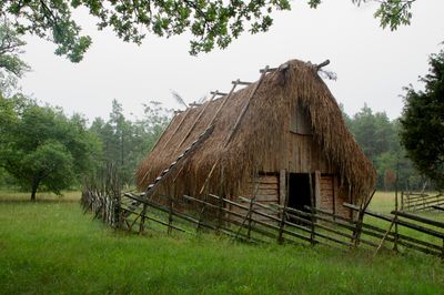
Ala 98:1, husgrund, förhistorisk/medeltida på Gotland
Location: Gotland Municipality
GPS coordinates: 57.39136,18.61480
Latest update: March 11, 2025 13:13
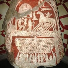
Tjängvide image stone
5.7 km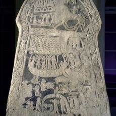
Ardre image stones
5.1 km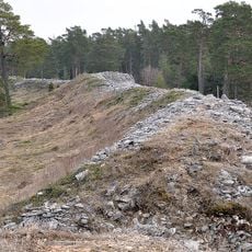
Torsburgen
6.8 km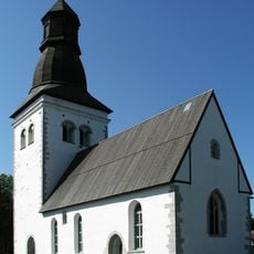
Ala Church
3.3 km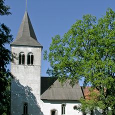
Buttle Church
5.2 km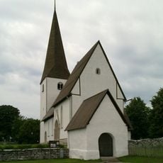
Alskog Church
6.7 km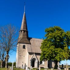
Ardre Church
5.1 km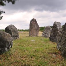
Gålrums grave field
7.4 km
Torsburgen
6.6 km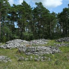
Fjäle, Ala
312 m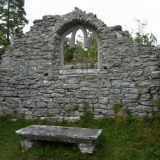
Ardre ödekyrka
5.2 km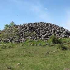
Digerrojr
7.3 km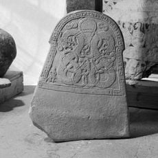
Gotlands runinskrifter 113
5.1 km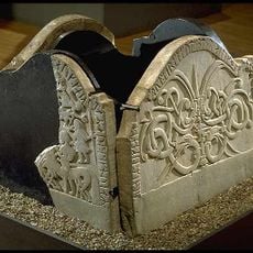
Gotlands runinskrifter 114
5.1 km
Hambrar
4.3 km
Botvatte kastal
4 km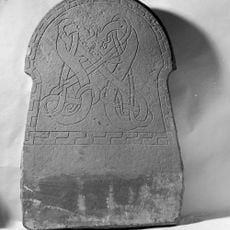
Gotlands runinskrifter 111
5.1 km
Torsburgen
6.6 km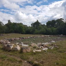
Buttle 43:1
6.8 km
Buttle 42:2
6.9 km
Gunfiauns kapell
5.2 km
Gotland runic inscription 108
6.7 km
Gotland runic inscription 122
5.2 km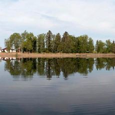
Sigvalde träsks, public beach
7.6 km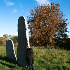
Buttle 42:1
6.9 km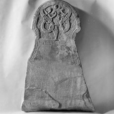
Gotlands runinskrifter 112
5.1 km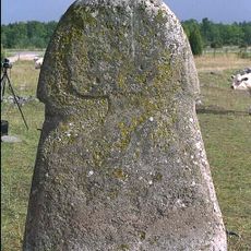
Gotland runic inscription 109
7.2 km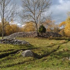
Buttle 44:1
7.2 kmReviews
Visited this place? Tap the stars to rate it and share your experience / photos with the community! Try now! You can cancel it anytime.
Discover hidden gems everywhere you go!
From secret cafés to breathtaking viewpoints, skip the crowded tourist spots and find places that match your style. Our app makes it easy with voice search, smart filtering, route optimization, and insider tips from travelers worldwide. Download now for the complete mobile experience.

A unique approach to discovering new places❞
— Le Figaro
All the places worth exploring❞
— France Info
A tailor-made excursion in just a few clicks❞
— 20 Minutes