
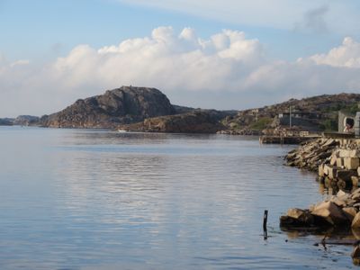
Tossene 976, ballastplats i Bohuslän
Location: Sotenäs Municipality
GPS coordinates: 58.27094,11.17394
Latest update: March 9, 2025 08:29
Hållö
7.8 km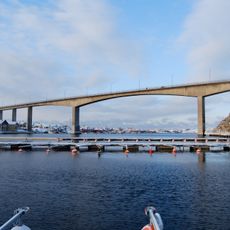
Smögenbron
11.2 km
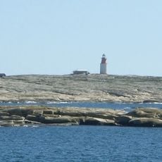
Hållö lighthouse
7.7 km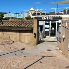
Havets hus
15.1 km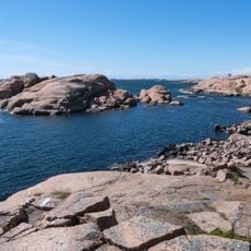
Stångehuvud nature reserve
14.2 km
Lysekils stad
15.2 km
Vikarvets Museum
14.9 km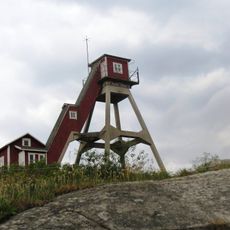
Smögens lotsutkik
9.8 km
Smögens kommun
9.9 km
Lysekil bath house
15.4 km
Näverkärr
14 km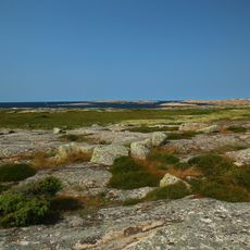
Hållöarkipelagen
7.7 km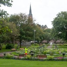
Stadsparken
15.3 km
Bua Hed
15.2 km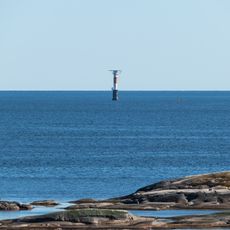
Dynabrott lighthouse
8.4 km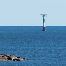
Brandskärs flak
8.4 km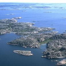
Kalven på Kornö
12.6 km
Foss 120:1
10.7 km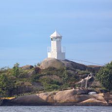
Snurran lighthouse
13.1 km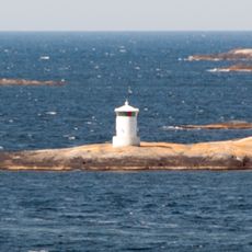
Grötö lighthouse
14.8 km
Breviksudde upper light
15 km
Mollbrinks Art Gallery
10.9 km
Kung Tryggves grav
14.3 km
Pärlans badstrand
12.4 km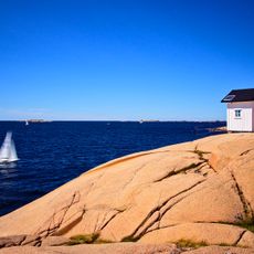
Stångehuvud lighthouse
14 km
Asta av Smögen (ship, 1916)
10.5 km
Kolleröd public beach
14.5 km
Foss 374:3
13.9 kmReviews
Visited this place? Tap the stars to rate it and share your experience / photos with the community! Try now! You can cancel it anytime.
Discover hidden gems everywhere you go!
From secret cafés to breathtaking viewpoints, skip the crowded tourist spots and find places that match your style. Our app makes it easy with voice search, smart filtering, route optimization, and insider tips from travelers worldwide. Download now for the complete mobile experience.

A unique approach to discovering new places❞
— Le Figaro
All the places worth exploring❞
— France Info
A tailor-made excursion in just a few clicks❞
— 20 Minutes