
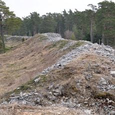
Östergarn 20:1, hillfort
Location: Gotland Municipality
GPS coordinates: 57.44165,18.96222
Latest update: March 30, 2025 02:38
Torsburgen
14.8 km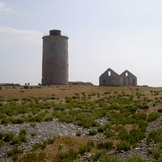
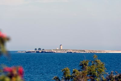
Östergarnsholm
766 m
Grogarnsberget
4.2 km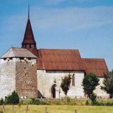
Gammelgarn Church
10.3 km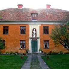
Katthamra
6.7 km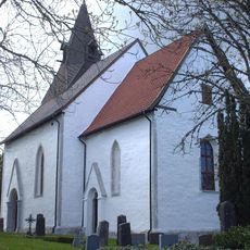
Östergarn Church
6.6 km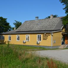
Albatrossmuseet
5.9 km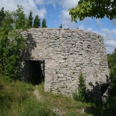
Östergarnsberget
7.7 km
Grogarnsberget
4.4 km
Torsburgen
15 km
Sandviken nature reserve
7.2 km
Mullvalds strandskog
14.8 km
Danbo
11.3 km
Östergarn lighthouse
1.4 km
Östergarn old lighthouse
86 m
Hajdebygårdarna
13.5 km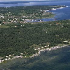
Hässle backe
4 km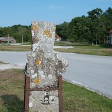
Kräklingbo 167:1
14.7 km
Sandviken
7.4 km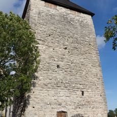
Gammelgarn Castle
10.4 km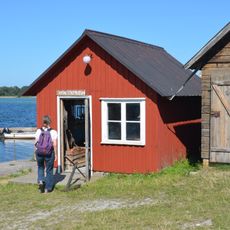
Fishmuseum
7.8 km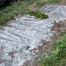
Kräklingbo 52:1
13.6 km
Hajdebygårdarna
13.6 km
Annas nöje
7 km
Katthamra
6.7 km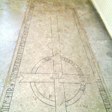
Gotland runic inscription 115
10.3 km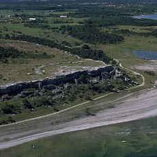
Östergarn 13:1
4.4 km
Herrviks Museum
3.5 kmVisited this place? Tap the stars to rate it and share your experience / photos with the community! Try now! You can cancel it anytime.
Discover hidden gems everywhere you go!
From secret cafés to breathtaking viewpoints, skip the crowded tourist spots and find places that match your style. Our app makes it easy with voice search, smart filtering, route optimization, and insider tips from travelers worldwide. Download now for the complete mobile experience.

A unique approach to discovering new places❞
— Le Figaro
All the places worth exploring❞
— France Info
A tailor-made excursion in just a few clicks❞
— 20 Minutes