
Dar Salam Arrondissement, arrondissement of Senegal
Location: Salémata Department
GPS coordinates: 12.62931,-12.79047
Latest update: April 4, 2025 18:13

Niokolo-Koba National Park
49.2 km
Télimélé
194.3 km
MacCarthy Island
236.7 km
Gouina Falls
239.2 km
Bassari Country
7.2 km
Badiar National Park
57.2 km
Dindefelo Falls
58.5 km
Félou Falls
247.9 km
Talari Gorges
235.7 km
Stade Régional Saifoullaye Diallo
157.1 km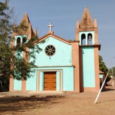
Our Lady of Grace Cathedral, Bafatá
209.8 km
Kambadaga Falls
184.6 km
Forêt de Dalaba
224.6 km
Isla Sepu
246.9 km
Kouratier
223.5 km
Eisenbahnbrücke von Kidira
213.3 km
Chute de Ditinn
212.3 km
Sankulay Kunda Bridge
236.1 km
Straßenbrücke von Kidira
212.9 km
Isla Pangon
240.8 km
Isla Pasari
184 km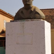
Amílcar Cabral
210.1 km
Birth house of Amílcar Cabral
209.9 km
Igreja de Geba
220.5 km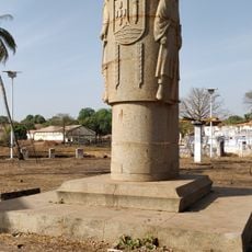
Oliveira Muzanty monument
210.1 km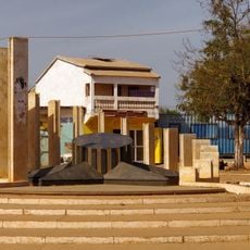
Amílcar Cabral monument
209.2 km
Villa de Dalaba
224.3 km
Case à palabres de Dalaba
224.3 kmReviews
Visited this place? Tap the stars to rate it and share your experience / photos with the community! Try now! You can cancel it anytime.
Discover hidden gems everywhere you go!
From secret cafés to breathtaking viewpoints, skip the crowded tourist spots and find places that match your style. Our app makes it easy with voice search, smart filtering, route optimization, and insider tips from travelers worldwide. Download now for the complete mobile experience.

A unique approach to discovering new places❞
— Le Figaro
All the places worth exploring❞
— France Info
A tailor-made excursion in just a few clicks❞
— 20 Minutes