
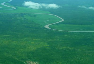
Upper Nile, state of South Sudan
Location: South Sudan
Inception: 1994
Capital city: Malakal
Shares border with: Jonglei, Unity
GPS coordinates: 9.53333,32.66667
Latest update: May 10, 2025 23:45
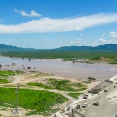
Grand Ethiopian Renaissance Dam
325 km
Southwest Ethiopia Regional State
474.6 km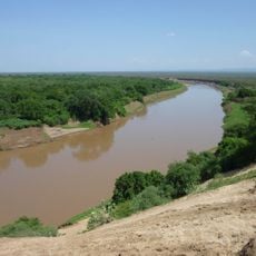
Omo River
549.2 km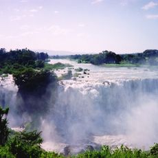
Blue Nile Falls
580.9 km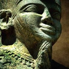
National Museum of Sudan
676.2 km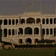
Presidential Palace in Khartoum
676.6 km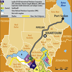
Block 5A, South Sudan
291.2 km
Boma National Park
365.7 km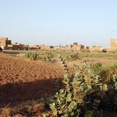
Tuti Island
677.7 km
Fachoda
82.5 km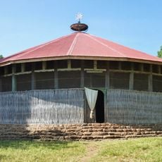
Ura Kidane Mehret
565.2 km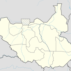
Bandingilo National Park
458.5 km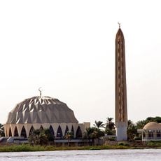
Masjid Al-Nilin
677.6 km
Southern National Park
586.2 km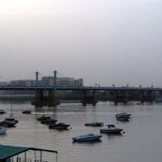
Mac Nimir Bridge
677 km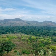
Chebera Churchura National Park
530.5 km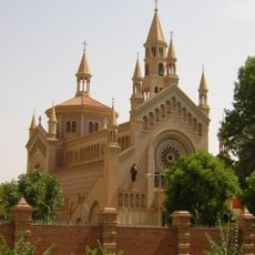
St. Matthew's Cathedral
676.7 km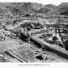
Jebel Moya
447.5 km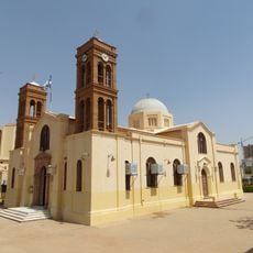
Greek Orthodox Church of the Annunciation
676.2 km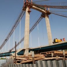
Tuti Bridge
676.5 km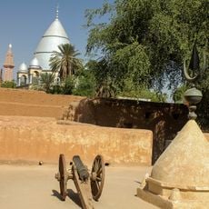
Khalifa House Museum
652.5 km
Shambe National Park
365.5 km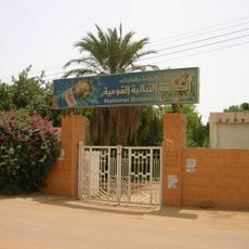
Sudan National Botanical Garden
675.8 km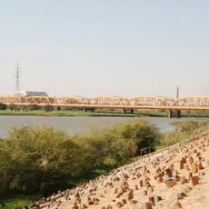
Omdurman Bridge
677.1 km
Juba Nile Bridge
537.2 km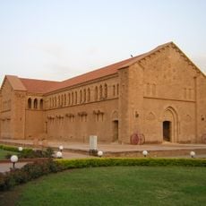
Republican Palace
676.4 km
St. Theresa Cathedral, Juba
536.9 km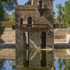
Fasilides' Bath
625.8 kmReviews
Visited this place? Tap the stars to rate it and share your experience / photos with the community! Try now! You can cancel it anytime.
Discover hidden gems everywhere you go!
From secret cafés to breathtaking viewpoints, skip the crowded tourist spots and find places that match your style. Our app makes it easy with voice search, smart filtering, route optimization, and insider tips from travelers worldwide. Download now for the complete mobile experience.

A unique approach to discovering new places❞
— Le Figaro
All the places worth exploring❞
— France Info
A tailor-made excursion in just a few clicks❞
— 20 Minutes