
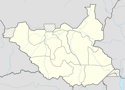
Aweil East County, County in Northern Bahr el Ghazal, South Sudan
Location: Northern Bahr el Ghazal
Elevation above the sea: 422 m
GPS coordinates: 9.00000,27.60000
Latest update: April 4, 2025 09:12
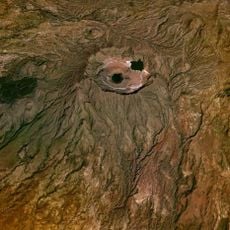
Marrah Mountains
639.7 km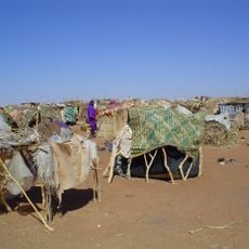
South Darfur State
361.7 km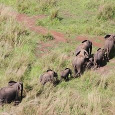
Garamba National Park
585.7 km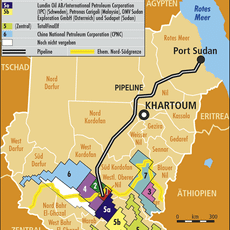
Block 5A, South Sudan
280.9 km
Fachoda
489.7 km
Southern National Park
283 km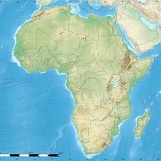
Shambe National Park
398.1 km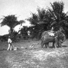
Api Elephant Domestication Center
637.8 km
Juba Game Reserve
636.6 km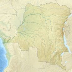
Domaine de chasse de Bili-Uere
556.5 km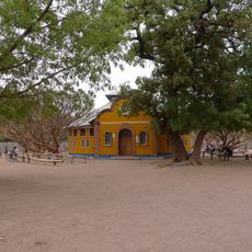
Holy Family Cathedral, Rumbek
333.1 km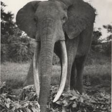
Gangala-na-Bodio Elephant Domestication Center
616.1 km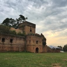
Dungu Castle
608.7 km
Mudīrīyat A‘ālī an Nīl
486.6 km
Obnoha
447.6 km
Mudīrīyat al Buḩayrāt
305.7 km
Wan Alel
219.9 km
Mundu
609.8 km
Province of West Equatoria
402.1 km
Lou
503.5 km
Mudīrīyat Baḩr al Ghazāl ash Sharqīyah
11 km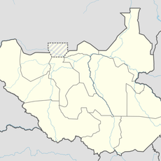
Fertit
191.1 km
Dinka
468.4 km
Izoturu
300.2 km
Mudīrīyat Junqalī
512.7 km
Nyareweng
484.1 km
Fajelu
625.2 km
Morokodo
484.6 kmReviews
Visited this place? Tap the stars to rate it and share your experience / photos with the community! Try now! You can cancel it anytime.
Discover hidden gems everywhere you go!
From secret cafés to breathtaking viewpoints, skip the crowded tourist spots and find places that match your style. Our app makes it easy with voice search, smart filtering, route optimization, and insider tips from travelers worldwide. Download now for the complete mobile experience.

A unique approach to discovering new places❞
— Le Figaro
All the places worth exploring❞
— France Info
A tailor-made excursion in just a few clicks❞
— 20 Minutes