
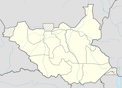
Maban County, county in Upper Nile, South Sudan
Location: Upper Nile
Elevation above the sea: 460 m
GPS coordinates: 9.97917,33.75000
Latest update: April 25, 2025 03:11
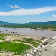
Grand Ethiopian Renaissance Dam
201.2 km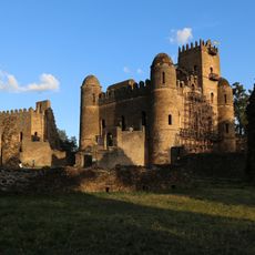
Fasil Ghebbi
500.5 km
Southwest Ethiopia Regional State
429 km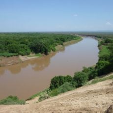
Omo River
453.6 km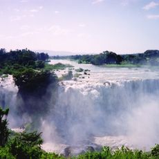
Blue Nile Falls
452.1 km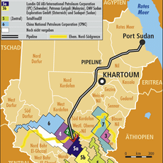
Block 5A, South Sudan
419.6 km
Boma National Park
388.9 km
Fachoda
194.9 km
Ura Kidane Mehret
436.6 km
Wonchi
474.3 km
Chebera Churchura National Park
471.6 km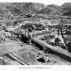
Jebel Moya
394.6 km
Shambe National Park
483 km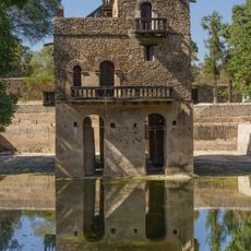
Fasilides' Bath
500 km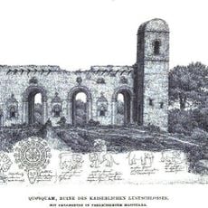
Kuskwam
499.4 km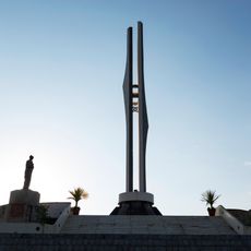
Martyrs Memorial Monument
439.4 km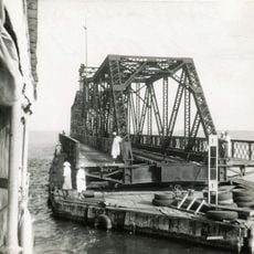
Goz Abu Goma Bridge
369.6 km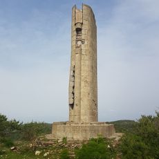
Stele di Mussolini
460.1 km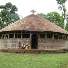
Azwa Mariam Monastery
437.5 km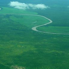
Mudīrīyat A‘ālī an Nīl
199.3 km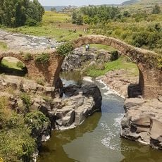
Genfokuch Bridge
497.7 km
Abich
308.3 km
Ura Kidane Mihret
436.6 km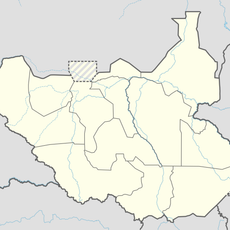
Lou
251.2 km
Dinka
224.8 km
Uduk
39.5 km
Mudīrīyat Junqalī
336.5 km
Nyareweng
413.9 kmReviews
Visited this place? Tap the stars to rate it and share your experience / photos with the community! Try now! You can cancel it anytime.
Discover hidden gems everywhere you go!
From secret cafés to breathtaking viewpoints, skip the crowded tourist spots and find places that match your style. Our app makes it easy with voice search, smart filtering, route optimization, and insider tips from travelers worldwide. Download now for the complete mobile experience.

A unique approach to discovering new places❞
— Le Figaro
All the places worth exploring❞
— France Info
A tailor-made excursion in just a few clicks❞
— 20 Minutes